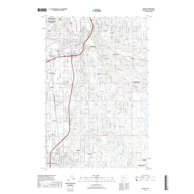
2020 Map of Renton
USGS Topo · Published 2020About this map
The confluence of the Green River and Black River valleys anchors this detailed study of the industrial and residential corridors south of Seattle. The city of Renton serves as a central hub, where the Cedar River flows toward the southern tip of Lake Washington, flanked by the Renton Municipal Airport and Renton Technical College. The landscape is a complex network of established neighborhoods like Bryn Mawr, Skyway, and Cascade, interspersed with significant institutional landmarks including several college campuses and the Norm Maleng Regional Justice Center in Kent.
Find a feature on this map
47 named features on this map. Tap any name to fly to it.
Don’t see what you’re looking for? This feature index may not catch every label — zoom into the map to look around manually.
Map Details
Editions of this 2020 Renton Map
This is the sole edition of this map. No revisions or reprints were ever made.
Other maps of this area

1894 · Seattle
USGS Topo · 1:62,500

1895 · Snohomish
USGS Topo · 1:125,000

1897 · Tacoma
USGS Topo · 1:125,000

1897 · Seattle
USGS Topo · 1:125,000

1900 · Tacoma
USGS Topo · 1:125,000

1908 · Seattle
USGS Topo · 1:62,500

1909 · Seattle Special
USGS Topo · 1:62,500

1949 · Maple Valley
USGS Topo · 1:24,000

1949 · Black Diamond
USGS Topo · 1:24,000

1949 · Poverty Bay
USGS Topo · 1:24,000