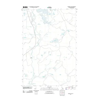
2011 Map of Republic SW
USGS Topo · Published 2011About this map
The Michigamme River carves a winding path through this corner of Marquette County, defining a landscape dominated by interconnected waterways and glacial basins. This 2011 survey illustrates a region where recreation and natural hydrology converge, highlighted by the Witbeck Rapids Campground positioned along the river's edge. The area is characterized by a dense concentration of named lakes, from the expansive Bengston Lake and Helen Lake to the uniquely grouped Chain of Lakes. A network of county routes, such as County Hwy FFH and County Hwy LLC, provides access to these remote waters. Small drainage systems like Wilson Creek and Schwartz Creek feeder into the larger basins, reflecting the complex aquatic geography of the Michigan Upper Peninsula.
Find a feature on this map
46 named features on this map. Tap any name to fly to it.
Don’t see what you’re looking for? This feature index may not catch every label — zoom into the map to look around manually.
Map Details
Editions of this 2011 Republic SW Map
This is the sole edition of this map. No revisions or reprints were ever made.
Other maps of this area

1899 · Sagola
USGS Topo · 1:62,500

1899 · Witbeck
USGS Topo · 1:62,500

1955 · Witch Lake
USGS Topo · 1:24,000

1955 · Ralph NW
USGS Topo · 1:24,000

1955 · Ralph NE
USGS Topo · 1:24,000

1955 · Witch Lake NE
USGS Topo · 1:24,000

1955 · Greenwood
USGS Topo · 1:24,000

1955 · Republic
USGS Topo · 1:62,500

1955 · Republic
USGS Topo · 1:24,000

1955 · Witch Lake
USGS Topo · 1:62,500