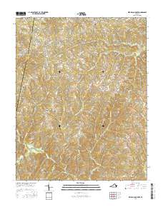
2016 Map of Republican Grove
USGS Topo · Published 2016About this map
The Banister River and its numerous tributaries, including Childrey Cr and Terrible Cr, define the drainage patterns of this Halifax County landscape. Small rural communities are distributed throughout the terrain, centered on historical hubs like Republican Grove, Volens, and Leda. The road network reflects an older pattern of settlement, with many lanes like Tobacco Rd and Golden Leaf Rd hinting at the area's agricultural heritage. Genealogy researchers will find several local landmarks for tracing family history, including Clover Bottom Cem, Mulberry Cem, and the southern community of Millstone. The boundary between Pittsylvania Co and Halifax Co runs along the western edge, where the settlement of Hermosa sits near Mulberry Rd.
Find a feature on this map
81 named features on this map. Tap any name to fly to it.
Don’t see what you’re looking for? This feature index may not catch every label — zoom into the map to look around manually.
Map Details
Editions of this 2016 Republican Grove Map
This is the sole edition of this map. No revisions or reprints were ever made.
Other maps of this area

1892 · Lynchburg
USGS Topo · 1:125,000

1892 · Appomattox
USGS Topo · 1:125,000

1947 · Roanoke
USGS Topo · 1:250,000

1953 · Greensboro
USGS Topo · 1:250,000

1954 · Greensboro
USGS Topo · 1:250,000

1954 · Halifax
USGS Topo · 1:62,500

1954 · Riceville
USGS Topo · 1:62,500

1956 · Brookneal
USGS Topo · 1:62,500

1956 · Gladys
USGS Topo · 1:62,500

1959 · Roanoke
USGS Topo · 1:250,000