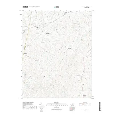
2019 Map of Republican Grove
USGS Topo · Published 2019About this map
Republican Grove and its surrounding rural communities are situated within a landscape defined by the winding Banister River and numerous dendritic creek systems. In the late 2010s, this portion of Halifax County maintained a dispersed settlement pattern with small hamlets like Cody, Volens, and Leda connected by a network of historical thoroughfares, including the evocative Stage Coach Rd. The map reveals the deep-rooted local history of the region through several family and community burial grounds, such as Clover Bottom Cem and Millstone Cem. The terrain is deeply etched by watercourses such as Childrey Cr, Cow Cr, and Tinsley Cr, which create the undulating topography characteristic of the Virginia Piedmont. This survey captures a moment of continuity in a region where agricultural land use and small-scale crossroads communities have persisted for generations.
Find a feature on this map
80 named features on this map. Tap any name to fly to it.
Don’t see what you’re looking for? This feature index may not catch every label — zoom into the map to look around manually.
Map Details
Editions of this 2019 Republican Grove Map
This is the sole edition of this map. No revisions or reprints were ever made.
Other maps of this area

1892 · Lynchburg
USGS Topo · 1:125,000

1892 · Appomattox
USGS Topo · 1:125,000

1947 · Roanoke
USGS Topo · 1:250,000

1953 · Greensboro
USGS Topo · 1:250,000

1954 · Greensboro
USGS Topo · 1:250,000

1954 · Halifax
USGS Topo · 1:62,500

1954 · Riceville
USGS Topo · 1:62,500

1956 · Brookneal
USGS Topo · 1:62,500

1956 · Gladys
USGS Topo · 1:62,500

1959 · Roanoke
USGS Topo · 1:250,000