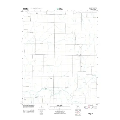
2011 Map of Rescue
USGS Topo · Published 2011About this map
Spring River meanders across the southern portion of this Lawrence County landscape, defining the topography south of Rescue. The terrain is marked by a grid of agricultural thoroughfares like Lawrence 2040 and Farm Road 1050, connecting small rural settlements and family burial grounds. The transition from the higher northern plains toward the river valley is evidenced by features such as Colley Hollow and Dry Hollow.
Find a feature on this map
50 named features on this map. Tap any name to fly to it.
Don’t see what you’re looking for? This feature index may not catch every label — zoom into the map to look around manually.
Map Details
Editions of this 2011 Rescue Map
This is the sole edition of this map. No revisions or reprints were ever made.
Other maps of this area

1886 · Greenfield
USGS Topo · 1:125,000

1886 · Carthage
USGS Topo · 1:125,000

1888 · Greenfield
USGS Topo · 1:125,000

1894 · Carthage
USGS Topo · 1:125,000

1921 · Stotts City
USGS Topo · 1:62,500

1921 · Sarcoxie
USGS Topo · 1:62,500

1947 · Joplin
USGS Topo · 1:250,000

1949 · Joplin
USGS Topo · 1:250,000

1954 · Springfield
USGS Topo · 1:250,000

1954 · Joplin
USGS Topo · 1:250,000