2021 Map of Rescue
USGS Topo · Published 2021About this map
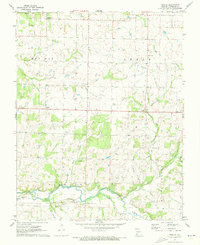
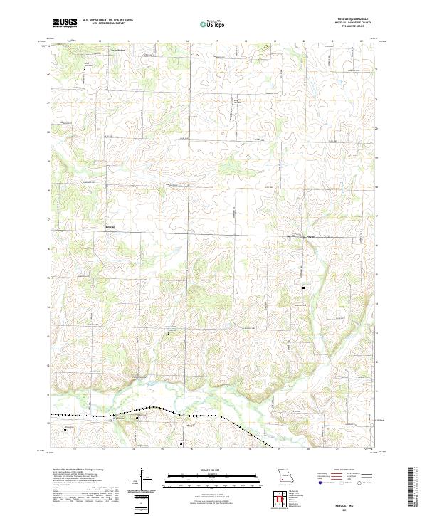
Spring River meanders across the southern portion of this Lawrence County landscape, defining the local drainage alongside several prominent valleys including Colley Hollow and Dry Hollow. The settlement pattern is characterized by small community nodes such as Grays Point and Rescue, which serve as anchors for a dense network of county and farm roads. This rural Missouri territory is notable for its high density of family and community burial grounds, including Grays Point Cem, Cole Cem, Goss Cem, Hodges Cem, Wilson Cem, and Beck Cem, which offer significant value for genealogical research.
Find a feature on this map
59 named features on this map. Tap any name to fly to it.
Don’t see what you’re looking for? This feature index may not catch every label — zoom into the map to look around manually.
Map Details
Editions of this 2021 Rescue Map
This is the sole edition of this map. No revisions or reprints were ever made.