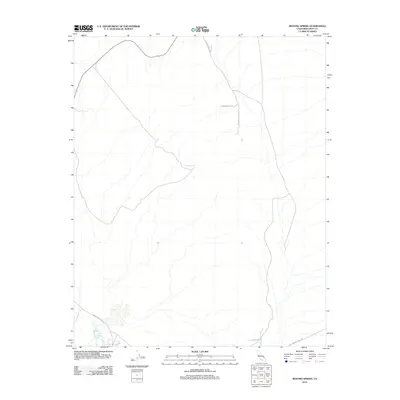
2012 Map of Resting Spring
USGS Topo · Published 2012About this map
Resting Springs and other desert water sources anchor this arid landscape of Inyo County. The drainage of the Amargosa River cuts through the southwestern corner of the quadrangle, where modern transit routes converge near the historic path of the Old Spanish Trail Hwy. The presence of Chappo Spring at the heart of the sheet illustrates the critical importance of localized water points in an environment where road networks like Chicago Valley Rd and Furnace Creek Rd must navigate significant elevation changes.
Find a feature on this map
7 named features on this map. Tap any name to fly to it.
Don’t see what you’re looking for? This feature index may not catch every label — zoom into the map to look around manually.
Map Details
Editions of this 2012 Resting Spring Map
This is the sole edition of this map. No revisions or reprints were ever made.
Other maps of this area

1908 · Furnace Creek
USGS Topo · 1:250,000

1910 · Furnace Creek
USGS Topo · 1:250,000

1933 · Avawatz Mountains
USGS Topo · 1:250,000

1940 · Eagle Tank
USGS Topo · 1:62,500

1947 · Trona
USGS Topo · 1:250,000

1948 · Trona
USGS Topo · 1:250,000

1948 · Death Valley
USGS Topo · 1:250,000

1950 · Tecopa
USGS Topo · 1:62,500

1951 · Tecopa
USGS Topo · 1:62,500

1951 · Eagle Mtn
USGS Topo · 1:62,500