Loading...
Loading map...2023 Map of Reynoldsburg
USGS Topo · Published 2023About this map
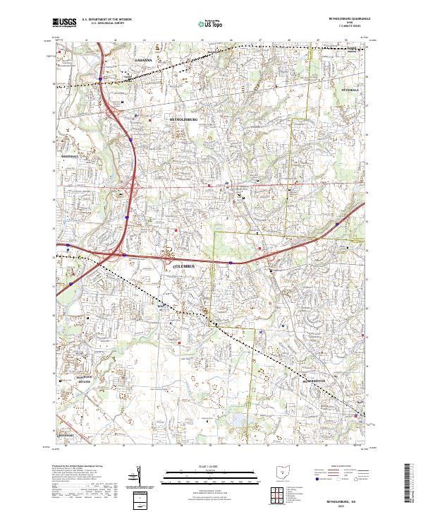
Reynoldsburg and the surrounding eastern suburbs of Columbus are shown here at the intersection of Franklin, Licking, and Fairfield Counties. This landscape is defined by the suburban expansion around the I-270 and I-70 corridors, yet it retains numerous markers of its earlier character through its extensive cemetery system. Significant burial sites such as Glen Rest Memorial Cem, Silent Home Cem, and Forest Lawn Memorial Gardens occupy large tracts near the city centers.
Find a feature on this map
41 named features on this map. Tap any name to fly to it.
Don’t see what you’re looking for? This feature index may not catch every label — zoom into the map to look around manually.
Map Details
Date Portrayed2023
Date Published2023
PublisherU.S. Geological Survey
Map TypeTopographic
Scale1:24000
Physical Dimensions24 x 29 inches
Editions of this 2023 Reynoldsburg Map
This is the sole edition of this map. No revisions or reprints were ever made.
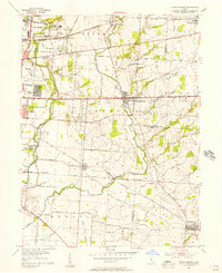
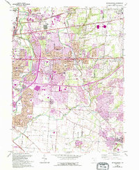
Historical Maps of Jefferson Township Through Time
3 maps found
Featured Locations
Source Details
SourceU.S. Geological Survey
CopyrightPublic Domain