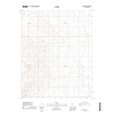
2018 Map of Rhodes Canyon
USGS Topo · Published 2018About this map
Aubrey Cliffs dominate the southwestern corner of this Coconino County terrain, where the high plateau drops away into a complex system of drainage and relief. This 2018 survey documents a remote landscape defined by its vital water sources, including Deer Tank and Jack Stephens Tank, which support the region's livestock and wildlife in a high-desert environment. The namesake Rhodes Canyon and nearby Pine Canyon illustrate the deep erosion patterns characteristic of the Arizona strip, feeding into the seasonal drainage of Chino Wash. By tracing these landforms and the township boundaries such as t26n r7w, one can see the sparse but essential human footprint through features like Sheep Ranch Tank and the network of primitive roads that connect these isolated canyon reaches.
Find a feature on this map
11 named features on this map. Tap any name to fly to it.
Don’t see what you’re looking for? This feature index may not catch every label — zoom into the map to look around manually.
Map Details
Editions of this 2018 Rhodes Canyon Map
This is the sole edition of this map. No revisions or reprints were ever made.
Other maps of this area

1886 · Diamond Creek
USGS Topo · 1:250,000

1886 · Chino
USGS Topo · 1:250,000

1891 · Chino
USGS Topo · 1:250,000

1892 · Diamond Creek
USGS Topo · 1:250,000

1948 · Williams
USGS Topo · 1:250,000

1954 · Williams
USGS Topo · 1:250,000

1956 · Williams
USGS Topo · 1:250,000

1960 · Williams
USGS Topo · 1:250,000

1961 · Williams
USGS Topo · 1:250,000
1980 · Rose Well Camp West
USGS Topo · 1:24,000