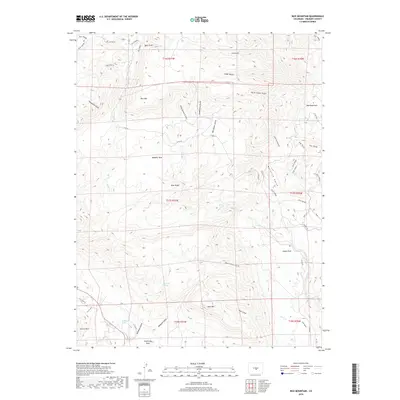
2019 Map of Rice Mountain
USGS Topo · Published 2019About this map
Rice Mtn and the surrounding high country of Fremont County are defined by a complex network of drainages and seasonal water sources. The landscape is carved by numerous features such as Big Spoon Gulch, Maverick Gulch, and Washington Gulch, which drain toward broader open spaces like Webster Park and Shaws Park. These parks represent localized depressions or flatlands within the higher elevation terrain, providing a natural focus for activity in an area otherwise dominated by ridges.
Find a feature on this map
49 named features on this map. Tap any name to fly to it.
Don’t see what you’re looking for? This feature index may not catch every label — zoom into the map to look around manually.
Map Details
Editions of this 2019 Rice Mountain Map
This is the sole edition of this map. No revisions or reprints were ever made.
Other maps of this area

1889 · Canon City
USGS Topo · 1:125,000

1892 · Canon City
USGS Topo · 1:125,000

1894 · Pikes Peak
USGS Topo · 1:125,000

1901 · Pikes Peak
USGS Topo · 1:125,000

1942 · Cover Mtn.
USGS Topo · 1:62,500

1948 · Cover Mtn.
USGS Topo · 1:62,500

1951 · Cripple Creek South
USGS Topo · 1:24,000

1954 · Cooper Mountain
USGS Topo · 1:24,000

1954 · Pueblo
USGS Topo · 1:250,000

1957 · Pueblo
USGS Topo · 1:250,000