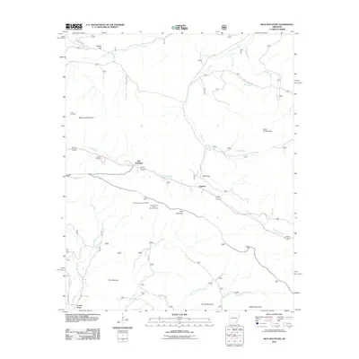
2011 Map of Rich Mountain
USGS Topo · Published 2011About this map
Rich Mountain dominates this topographical study of Polk County, where the peak's heights accommodate the Rich Mountain Lookout Tower and the surrounding Rich Mountain Tower Recreation Area. The landscape is defined by its prominent ridgelines and the gaps that permit passage through the high country, including Eagle Gap and Saddle Gap. Below these heights, the Ouachita River flows through the valley near the settlement of Eagleton, marking a corridor of habitation and transport between the mountain ranges.
Find a feature on this map
31 named features on this map. Tap any name to fly to it.
Don’t see what you’re looking for? This feature index may not catch every label — zoom into the map to look around manually.
Map Details
Editions of this 2011 Rich Mountain Map
This is the sole edition of this map. No revisions or reprints were ever made.
Other maps of this area

1879 · Poteau Mountain
USGS Topo · 1:62,500

1887 · Poteau Mountain #1
USGS Topo · 1:62,500

1887 · Poteau Mountain #2
USGS Topo · 1:62,500

1890 · Poteau Mountain
USGS Topo · 1:125,000

1899 · Poteau Mountain
USGS Topo · 1:125,000

1939 · Waldron
USGS Topo · 1:62,500

1940 · Waldron
USGS Topo · 1:62,500

1941 · Waldron
USGS Topo · 1:62,500

1949 · Waldron
USGS Topo · 1:62,500

1950 · Mcalester
USGS Topo · 1:250,000