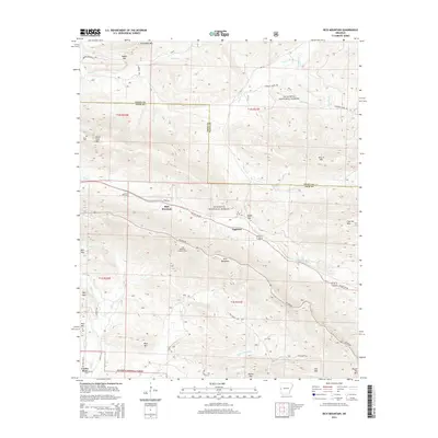
2014 Map of Rich Mountain
USGS Topo · Published 2014About this map
Rich Mountain rises prominently at the heart of this terrain, where the ridge-and-valley landscape of the Ouachita National Forest meets the upper reaches of the Ouachita River. The summit is marked by the Rich Mountain Lookout Tower, a classic landmark of forest management and fire suppression. Lower down the slopes, the small settlement of Eagleton sits along US Hwy 59 270, while Center Point anchors the southern portion of the sheet. The map reveals a network of high-elevation routes like Skyline Dr and lower valley roads such as Polk Road 720 and Johnson Creek Rd, tracing the paths through Eagle Gap and Saddle Gap. This area serves as a rugged corridor through the mountains, with historical markers like Little Cem and Sexton Cem tucked away near the borders of Black Fork Mtn.
Find a feature on this map
49 named features on this map. Tap any name to fly to it.
Don’t see what you’re looking for? This feature index may not catch every label — zoom into the map to look around manually.
Map Details
Editions of this 2014 Rich Mountain Map
This is the sole edition of this map. No revisions or reprints were ever made.
Other maps of this area

1879 · Poteau Mountain
USGS Topo · 1:62,500

1887 · Poteau Mountain #1
USGS Topo · 1:62,500

1887 · Poteau Mountain #2
USGS Topo · 1:62,500

1890 · Poteau Mountain
USGS Topo · 1:125,000

1899 · Poteau Mountain
USGS Topo · 1:125,000

1939 · Waldron
USGS Topo · 1:62,500

1940 · Waldron
USGS Topo · 1:62,500

1941 · Waldron
USGS Topo · 1:62,500

1949 · Waldron
USGS Topo · 1:62,500

1950 · Mcalester
USGS Topo · 1:250,000