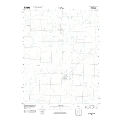
2009 Map of Richards
USGS Topo · Published 2009About this map
Richards and Stotesbury anchor this rural landscape in western Missouri, where the terrain transitions from the low-lying bottoms of the Little Osage River to the prominent elevations of the Rombaugh Hills. The map provides a detailed view of the agrarian layout of the early 21st century, defined by a grid of county roads such as Co RD V and Co RD D. Local history is preserved in a series of family and community burial grounds, including Kaufman Cemetery, East Liberty Cemetery, Turley Cemetery, and Richland Cemetery, which are scattered among the fields.
Find a feature on this map
27 named features on this map. Tap any name to fly to it.
Don’t see what you’re looking for? This feature index may not catch every label — zoom into the map to look around manually.
Map Details
Editions of this 2009 Richards Map
This is the sole edition of this map. No revisions or reprints were ever made.
Other maps of this area

1884 · Fort Scott
USGS Topo · 1:125,000

1886 · Nevada
USGS Topo · 1:125,000

1886 · Fort Scott
USGS Topo · 1:125,000

1887 · Butler
USGS Topo · 1:125,000

1887 · Mound City
USGS Topo · 1:125,000

1893 · Fort Scott
USGS Topo · 1:125,000

1893 · Mound City
USGS Topo · 1:125,000

1894 · Butler
USGS Topo · 1:125,000

1894 · Nevada
USGS Topo · 1:125,000

1938 · Metz
USGS Topo · 1:24,000