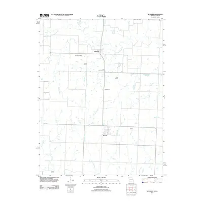
2011 Map of Richards
USGS Topo · Published 2011About this map
Stotesbury and Richards anchor this section of the Missouri-Kansas borderlands, where the drainage of the Little Osage River defines the northern landscape. The terrain transitions from the alluvial plains of Duncan Creek and Pecan Creek to the modest elevations of Rombaugh Hills and Hickman Hill. This 2011 survey reveals a deeply rooted rural layout, where the geometric road grid is punctuated by historic local landmarks such as East Liberty Cemetery and Turley Cemetery.
Find a feature on this map
24 named features on this map. Tap any name to fly to it.
Don’t see what you’re looking for? This feature index may not catch every label — zoom into the map to look around manually.
Map Details
Editions of this 2011 Richards Map
This is the sole edition of this map. No revisions or reprints were ever made.
Other maps of this area

1884 · Fort Scott
USGS Topo · 1:125,000

1886 · Nevada
USGS Topo · 1:125,000

1886 · Fort Scott
USGS Topo · 1:125,000

1887 · Butler
USGS Topo · 1:125,000

1887 · Mound City
USGS Topo · 1:125,000

1893 · Fort Scott
USGS Topo · 1:125,000

1893 · Mound City
USGS Topo · 1:125,000

1894 · Butler
USGS Topo · 1:125,000

1894 · Nevada
USGS Topo · 1:125,000

1938 · Metz
USGS Topo · 1:24,000