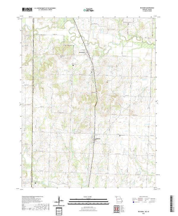
2021 Map of Richards
USGS Topo · Published 2021About this map
The Bourbon Co Vernon Co line serves as the western boundary for this portrait of the Missouri-Kansas borderlands. Centered on the town of Richards, the landscape is defined by the winding course of the Little Osage River to the north and its various tributaries, including Bitterroot Cr and Cottonwood Cr. The terrain is punctuated by the Rombaugh Hills and Hickman Hill, offering a more varied topography than the typical prairie plains of the region.
Find a feature on this map
52 named features on this map. Tap any name to fly to it.
Don’t see what you’re looking for? This feature index may not catch every label — zoom into the map to look around manually.
Map Details
Editions of this 2021 Richards Map
This is the sole edition of this map. No revisions or reprints were ever made.
Other maps of this area

1884 · Fort Scott
USGS Topo · 1:125,000

1886 · Nevada
USGS Topo · 1:125,000

1886 · Fort Scott
USGS Topo · 1:125,000

1887 · Butler
USGS Topo · 1:125,000

1887 · Mound City
USGS Topo · 1:125,000

1893 · Fort Scott
USGS Topo · 1:125,000

1893 · Mound City
USGS Topo · 1:125,000

1894 · Butler
USGS Topo · 1:125,000

1894 · Nevada
USGS Topo · 1:125,000

1938 · Metz
USGS Topo · 1:24,000