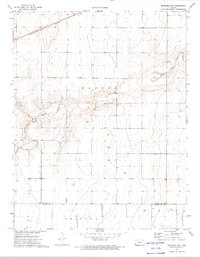
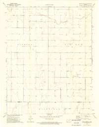
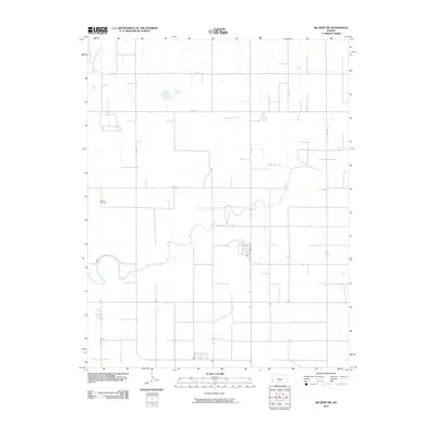
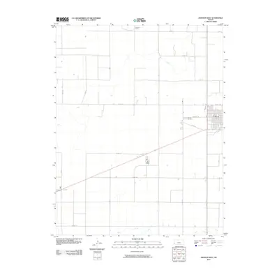
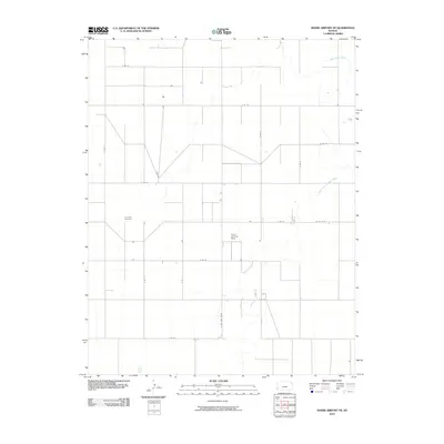
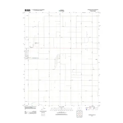
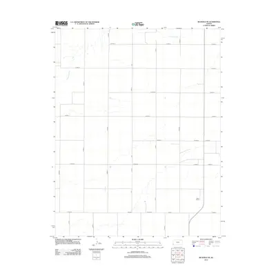
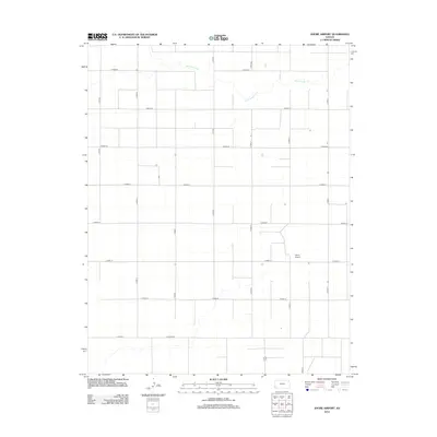
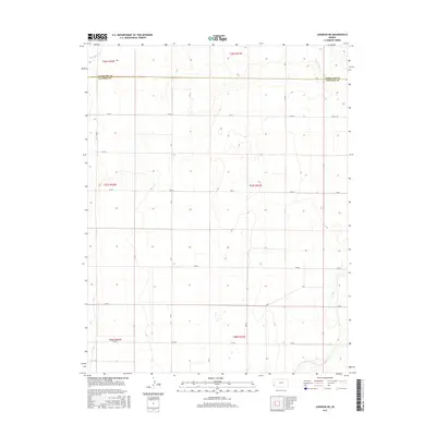
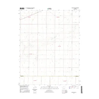
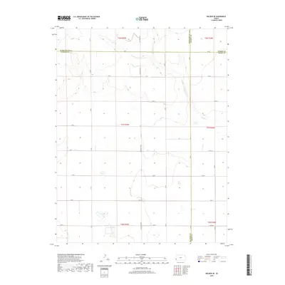
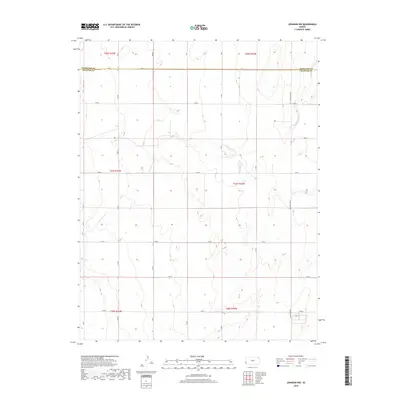
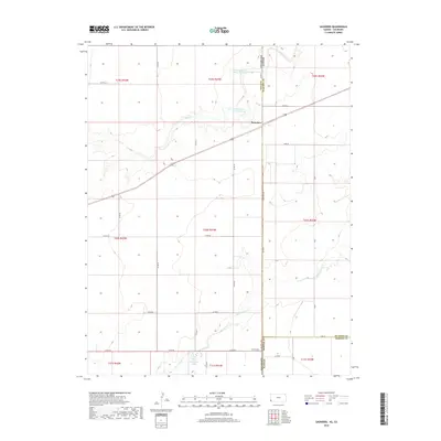
1973 Map of Richfield NW
USGS Topo · Published 1974About this map
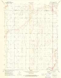
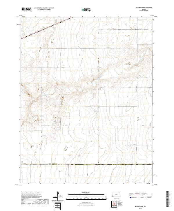
The Atchison Topeka and Santa Fe railroad cuts across the northern landscape, anchoring the regional transport network through this portion of western Kansas. To the south, the topography is defined by the winding path of Sand Arroyo Creek, which weaves through township lines and provides a distinct contrast to the surrounding plains. The 1970s energy landscape is evident in the numerous Gas Well sites dotting the terrain, reflecting the industrial footprint of the era. Positioned at the boundary of Manter, Westola, and Richfield, the area includes the jurisdictional line between Stanton Co and Morton Co. This survey documents a transitional moment in the High Plains, where traditional cattle-and-rail infrastructure met the expanding needs of natural gas extraction.
Find a feature on this map
8 named features on this map. Tap any name to fly to it.
Don’t see what you’re looking for? This feature index may not catch every label — zoom into the map to look around manually.
Map Details
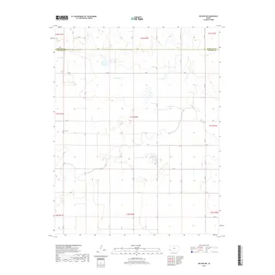
Editions of this 1973 Richfield NW Map
This is the sole edition of this map. No revisions or reprints were ever made.
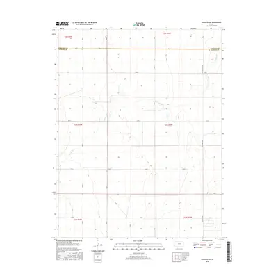
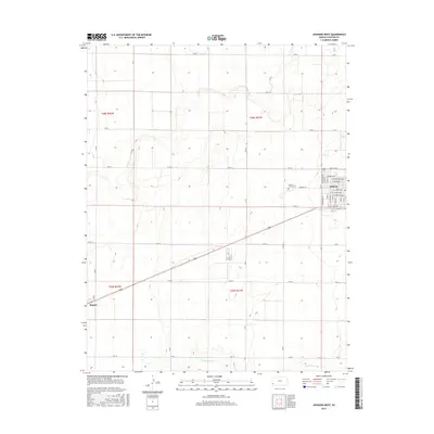
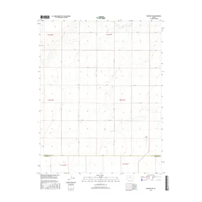
Historical Maps of Stanton County Through Time
66 maps found
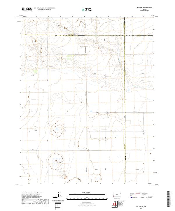
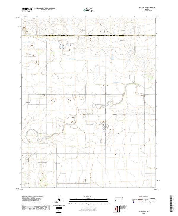
1959 Big Bow NE
Stanton County, KS
1959 Big Bow NW
Stanton County, KS
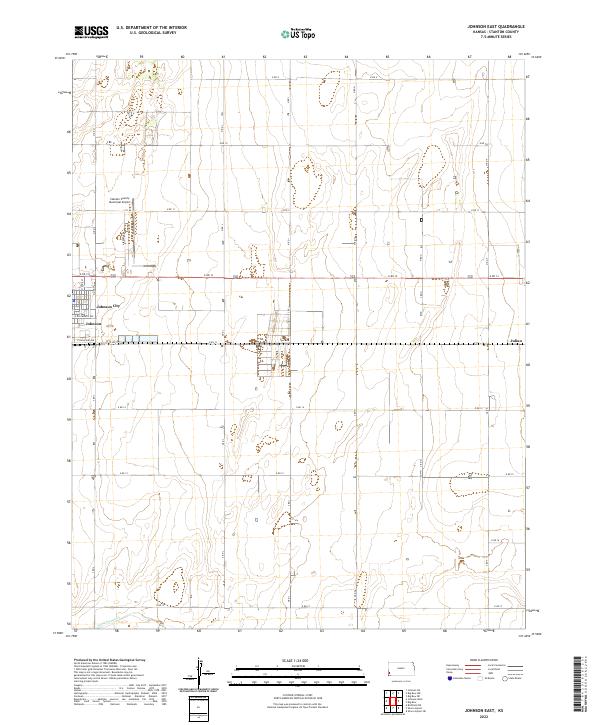
1959 Johnson East
Stanton County, KS
1973 Johnson NE
Stanton County, KS
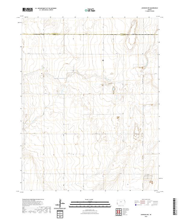
1973 Johnson NW
Stanton County, KS
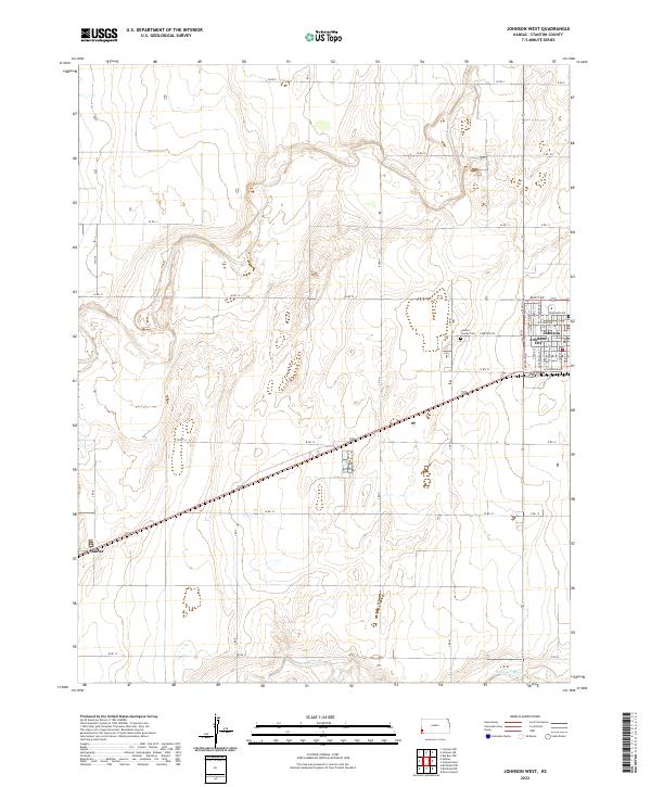
1973 Johnson West
Stanton County, KS
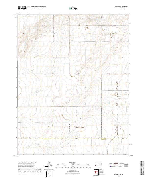
1973 Richfield NE
Stanton County, KS
1973 Richfield NW
Stanton County, KS
1973 Shore Airport
Stanton County, KS
1974 Shore Airport NE
Stanton County, KS
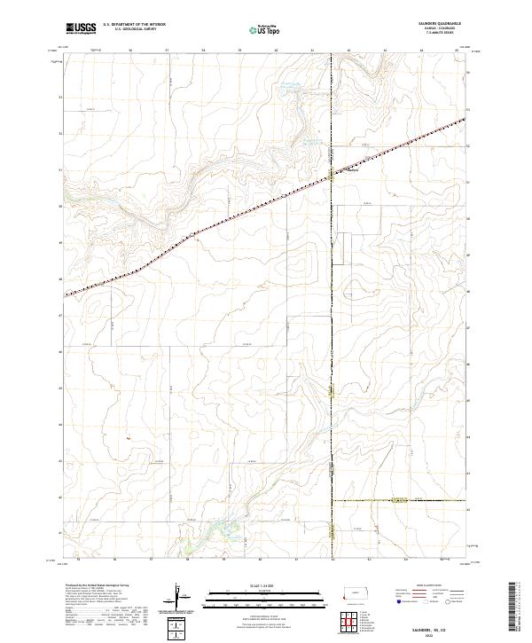
1979 Saunders
Stanton County, KS
2010 Big Bow NE
Stanton County, KS
2010 Big Bow NW
Stanton County, KS
2010 Johnson East
Stanton County, KS
2010 Johnson NE
Stanton County, KS
2010 Johnson NW
Stanton County, KS
2010 Johnson West
Stanton County, KS
2010 Richfield NE
Stanton County, KS
2010 Richfield NW
Stanton County, KS
2010 Saunders
Stanton County, KS
2010 Shore Airport NE
Stanton County, KS
2010 Shore Airport
Stanton County, KS
2012 Big Bow NE
Stanton County, KS
2012 Big Bow NW
Stanton County, KS
2012 Johnson East
Stanton County, KS
2012 Johnson NE
Stanton County, KS
2012 Johnson NW
Stanton County, KS
2012 Johnson West
Stanton County, KS
2012 Richfield NE
Stanton County, KS
2012 Richfield NW
Stanton County, KS
2012 Saunders
Stanton County, KS
2012 Shore Airport NE
Stanton County, KS
2012 Shore Airport
Stanton County, KS
2015 Big Bow NE
Stanton County, KS
2015 Big Bow NW
Stanton County, KS
2015 Johnson East
Stanton County, KS
2015 Johnson NE
Stanton County, KS
2015 Johnson NW
Stanton County, KS
2015 Johnson West
Stanton County, KS
2015 Richfield NE
Stanton County, KS
2015 Richfield NW
Stanton County, KS
2015 Saunders
Stanton County, KS
2015 Shore Airport NE
Stanton County, KS
2015 Shore Airport
Stanton County, KS
2018 Big Bow NE
Stanton County, KS
2018 Big Bow NW
Stanton County, KS
2018 Johnson East
Stanton County, KS
2018 Johnson NE
Stanton County, KS
2018 Johnson NW
Stanton County, KS
2018 Johnson West
Stanton County, KS
2018 Richfield NE
Stanton County, KS
2018 Richfield NW
Stanton County, KS
2018 Saunders
Stanton County, KS
2018 Shore Airport NE
Stanton County, KS
2018 Shore Airport
Stanton County, KS
2022 Big Bow NE
Stanton County, KS
2022 Big Bow NW
Stanton County, KS
2022 Johnson East
Stanton County, KS
2022 Johnson NE
Stanton County, KS
2022 Johnson NW
Stanton County, KS
2022 Johnson West
Stanton County, KS
2022 Richfield NE
Stanton County, KS
2022 Richfield NW
Stanton County, KS
2022 Saunders
Stanton County, KS
2022 Shore Airport NE
Stanton County, KS
2022 Shore Airport
Stanton County, KS