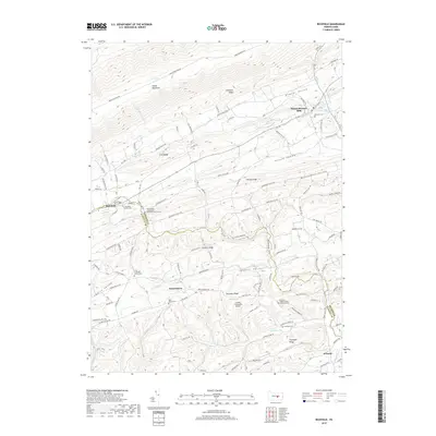
2019 Map of Richfield
USGS Topo · Published 2019About this map
Richfield and Mount Pleasant Mills anchor this landscape along the border of Snyder and Juniata counties. The terrain is defined by a series of southwest-to-northeast ridges, including Shade Mountain, Chestnut Ridge, and Dresslers Ridge, which dictate the local settlement and road patterns. Agricultural valleys like Potato Valley and Buckwheat Valley are tucked between these elevations, connected by winding rural routes such as Heister Valley Rd and Buckwheat Valley Rd. The map reveals a dense network of local landmarks essential for genealogical research, including the Richfield Union Cem, Saint Peters Cem, and the Faith Lutheran Church Cem. The West Branch Mahantango Creek and its tributaries, like Leiningers Run, provide the primary drainage for this rural Pennsylvania countryside, where Jansen Vineyards Airport serves as a modern waypoint among the traditional farming valleys.
Find a feature on this map
91 named features on this map. Tap any name to fly to it.
Don’t see what you’re looking for? This feature index may not catch every label — zoom into the map to look around manually.
Map Details
Editions of this 2019 Richfield Map
This is the sole edition of this map. No revisions or reprints were ever made.
Other maps of this area

1893 · Sunbury
USGS Topo · 1:62,500

1893 · Millersburg
USGS Topo · 1:62,500

1907 · Millerstown
USGS Topo · 1:62,500

1938 · Mifflinburg
USGS Topo · 1:48,000

1943 · Millerstown
USGS Topo · 1:62,500

1943 · Millersburg
USGS Topo · 1:62,500

1943 · Sunbury
USGS Topo · 1:62,500

1943 · Mifflinburg
USGS Topo · 1:62,500
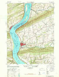
1947 · Millersburg
USGS Topo · 1:24,000
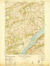
1947 · Dalmatia
USGS Topo · 1:24,000
Featured Places
- West Perry Township, PA
- Perry Township, PA
- Strouptown, Perry Township
- Knousetown, Monroe Township
- Washington Township, PA