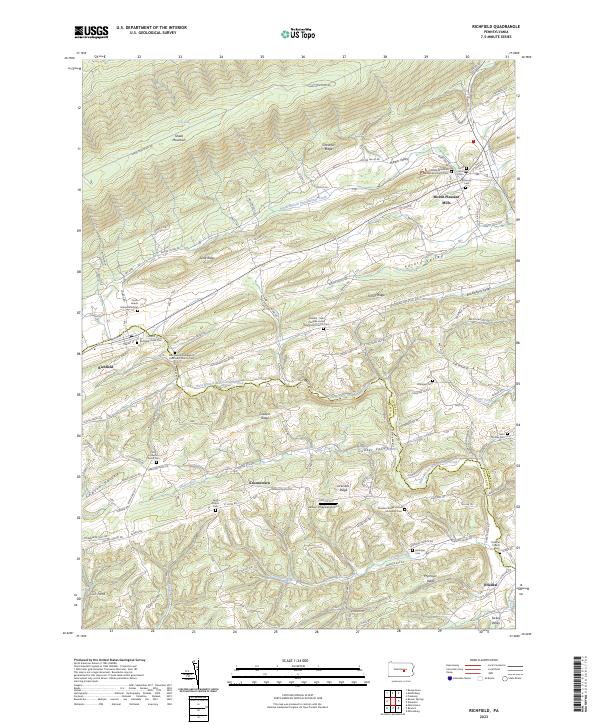
2023 Map of Richfield
USGS Topo · Published 2023About this map
Richfield and Mount Pleasant Mills anchor this portion of the Pennsylvania landscape, where the ridges and valleys of the Ridge-and-Valley Appalachians dictate the path of every stream and road. The terrain is defined by the steep slopes of Shade Mountain and Chestnut Ridge in the north, giving way to the agricultural pockets of Potato Valley, Hiester Valley, and Buckwheat Valley. These lowlands are densely marked with the spiritual and ancestral history of the region, evidenced by numerous small country churches and burial grounds like Shade Mountain Mennonite Church Cem and Richfield-Union Cem.
Find a feature on this map
114 named features on this map. Tap any name to fly to it.
Don’t see what you’re looking for? This feature index may not catch every label — zoom into the map to look around manually.
Map Details
Editions of this 2023 Richfield Map
This is the sole edition of this map. No revisions or reprints were ever made.
Other maps of this area

1893 · Sunbury
USGS Topo · 1:62,500

1893 · Millersburg
USGS Topo · 1:62,500

1907 · Millerstown
USGS Topo · 1:62,500

1938 · Mifflinburg
USGS Topo · 1:48,000

1943 · Millerstown
USGS Topo · 1:62,500

1943 · Millersburg
USGS Topo · 1:62,500

1943 · Sunbury
USGS Topo · 1:62,500

1943 · Mifflinburg
USGS Topo · 1:62,500
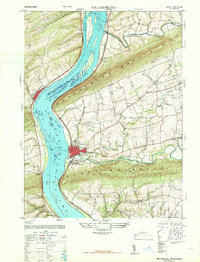
1947 · Millersburg
USGS Topo · 1:24,000
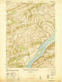
1947 · Dalmatia
USGS Topo · 1:24,000
Featured Places
- West Perry Township, PA
- Perry Township, PA
- Beaver Township, PA
- Susquehanna Township, PA
- Greenwood Township, PA