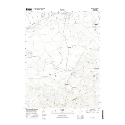
2016 Map of Richland
USGS Topo · Published 2016About this map
Myerstown and Richland anchor the northern portion of this landscape, where the residential grids of the Evangelical Theological Seminary and local industry meet the fertile plains of the Tulpehocken Cr valley. Moving south, the terrain shifts from the agricultural expanse surrounding Reistville and Flintville into the prominent ridges of the Furnace Hills. This transition is marked by a concentration of historical water sources and landmarks, such as the Schaefferstown Spring and the Lebanon Reservoir. Small crossroads communities like Kleinfeltersville and Buffalo Springs dot the central valley, while the southern border is defined by the Lebanon Co Lancaster Co boundary cutting across high points like Forge Hill and Cannon Hill. The map documents a classic Pennsylvania pattern of valley-floor settlements connected by winding local roads that eventually give way to the wooded heights of the ridge-and-valley province.
Find a feature on this map
128 named features on this map. Tap any name to fly to it.
Don’t see what you’re looking for? This feature index may not catch every label — zoom into the map to look around manually.
Map Details
Editions of this 2016 Richland Map
This is the sole edition of this map. No revisions or reprints were ever made.
Other maps of this area

1891 · Lebanon
USGS Topo · 1:62,500

1893 · Lebanon
USGS Topo · 1:62,500

1899 · Lebanon
USGS Topo · 1:62,500

1902 · Wernersville
USGS Topo · 1:62,500

1902 · Lancaster
USGS Topo · 1:62,500

1904 · Lancaster
USGS Topo · 1:62,500

1906 · New Holland
USGS Topo · 1:62,500

1908 · New Holland
USGS Topo · 1:62,500

1941 · New Holland
USGS Topo · 1:62,500

1943 · Lancaster
USGS Topo · 1:62,500
Featured Places
- Clay Township, PA
- Richland, PA
- Elizabeth Township, PA
- Prescott, South Lebanon Township
- Reistville, Heidelberg Township