
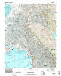
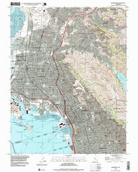
2021 Map of Richmond
USGS Topo · Published 2021About this map
Industrial history and academic centers converge along the East Bay shoreline in this detailed 2021 survey. The Rosie the Riveter/World War II Home Front National Historical Park anchors the waterfront, preserving the wartime legacy of the Richmond shipyards. Just inland, the city's complex rail network remains evident with the BNSF Railway and Union Pacific RR corridors threading through established neighborhoods and past the Contra Costa County George D Carroll Courthouse.
Find a feature on this map
99 named features on this map. Tap any name to fly to it.
Don’t see what you’re looking for? This feature index may not catch every label — zoom into the map to look around manually.
Map Details
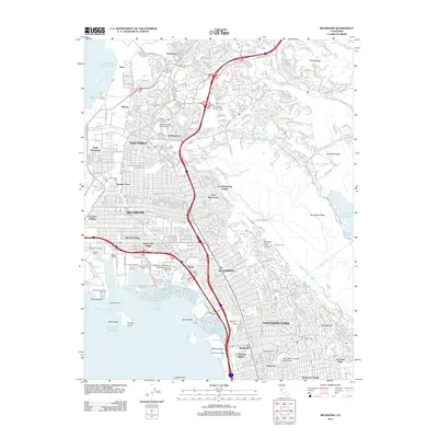
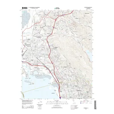
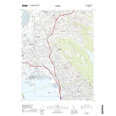
Editions of this 2021 Richmond Map
This is the sole edition of this map. No revisions or reprints were ever made.
Historical Maps of San Francisco Through Time
9 maps found
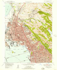
1947 Richmond
Contra Costa County, CA
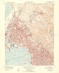
1949 Richmond
Contra Costa County, CA
1959 Richmond
Contra Costa County, CA
1993 Richmond
Contra Costa County, CA
1995 Richmond
Contra Costa County, CA
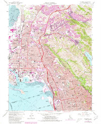
2012 Richmond
Contra Costa County, CA
2015 Richmond
Contra Costa County, CA
2018 Richmond
Contra Costa County, CA
2021 Richmond
Contra Costa County, CA