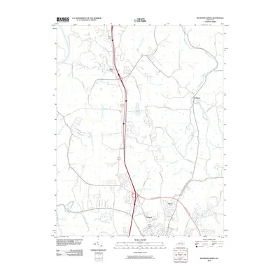
2010 Map of Richmond North
USGS Topo · Published 2010About this map
Otter Creek and its many tributaries, including the West Fork Otter Creek and Lost Fork, dominate the drainage of this Kentucky landscape. The area north of Richmond shows a mix of suburban growth and historical transit corridors, notably the path of the Old Daniel Boone Rd and Old Wilderness Trl. These routes suggest the deep historical footprints of early Kentucky exploration, now intersected by modern infrastructure like the Dr Robert R Martin Bypass. Small clusters such as White Hall, Blue Grass, and Redhouse appear amidst a network of rural roads and family-named ways like Crutcher Pike and Goggins Ln. To the southwest, residential neighborhoods like Arlington and Hillcrest mark the encroaching urban edge, while the northwest corner is defined by the winding course of the Kentucky River.
Find a feature on this map
54 named features on this map. Tap any name to fly to it.
Don’t see what you’re looking for? This feature index may not catch every label — zoom into the map to look around manually.
Map Details
Editions of this 2010 Richmond North Map
This is the sole edition of this map. No revisions or reprints were ever made.
Other maps of this area

1892 · Richmond
USGS Topo · 1:125,000

1897 · Richmond
USGS Topo · 1:125,000

1952 · Valley View
USGS Topo · 1:24,000

1952 · Union City
USGS Topo · 1:24,000

1952 · Coletown
USGS Topo · 1:24,000

1952 · Kirksville
USGS Topo · 1:24,000

1952 · Ford
USGS Topo · 1:24,000

1952 · Winchester
USGS Topo · 1:24,000

1952 · Richmond North
USGS Topo · 1:24,000

1952 · Moberly
USGS Topo · 1:24,000