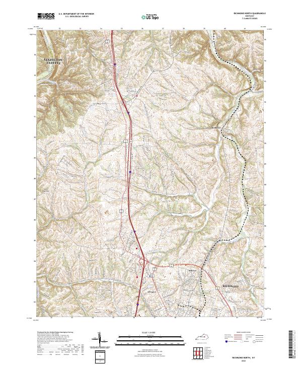
2022 Map of Richmond North
USGS Topo · Published 2022About this map
The rolling hills of Madison County meet the Kentucky River along the northwestern edge of this modern survey. The northern reaches of Richmond are the primary focus, showing the city's northward expansion toward smaller outlying settlements such as Arlington, Hillerest, and Redhouse. Historically significant corridors like Old Lexington Rd and White Hall Shrine Rd indicate the area's long-standing connection between the county seat and the river frontier.
Find a feature on this map
156 named features on this map. Tap any name to fly to it.
Don’t see what you’re looking for? This feature index may not catch every label — zoom into the map to look around manually.
Map Details
Editions of this 2022 Richmond North Map
This is the sole edition of this map. No revisions or reprints were ever made.
Other maps of this area

1892 · Richmond
USGS Topo · 1:125,000

1897 · Richmond
USGS Topo · 1:125,000

1952 · Valley View
USGS Topo · 1:24,000

1952 · Union City
USGS Topo · 1:24,000

1952 · Coletown
USGS Topo · 1:24,000

1952 · Kirksville
USGS Topo · 1:24,000

1952 · Ford
USGS Topo · 1:24,000

1952 · Winchester
USGS Topo · 1:24,000

1952 · Richmond North
USGS Topo · 1:24,000

1952 · Moberly
USGS Topo · 1:24,000