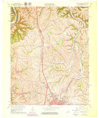
1965 Map of Richmond North
USGS Topo · Published 1979About this map
The Whitehall State Shrine stands as a focal point in this 1965 survey, situated just north of the growing city of Richmond. The landscape is defined by the winding course of the Kentucky River along the northwestern boundary and a network of drainages including Otter Creek and the West Fork. Settlement patterns here reflect the transition from rural agricultural land to early suburban expansion, evidenced by the inclusion of a Drive-in Theater and Trailer Park alongside established communities like White Hall and Redhouse. Local institutional history is well-represented by several rural congregations and educational sites, such as Mt Pleasant Ch, Mt Nebo Ch, and the Kit Carson Sch. The Louisville and Nashville railroad corridor remains a critical piece of infrastructure, cutting through the terrain and connecting these small Madison County outposts to the larger regional trade network.
Find a feature on this map
33 named features on this map. Tap any name to fly to it.
Don’t see what you’re looking for? This feature index may not catch every label — zoom into the map to look around manually.
Map Details
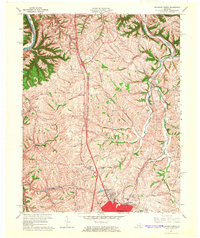
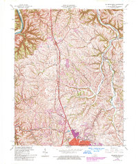
Editions of this 1965 Richmond North Map
3 editions found
Other maps of this area

1892 · Richmond
USGS Topo · 1:125,000

1897 · Richmond
USGS Topo · 1:125,000

1952 · Valley View
USGS Topo · 1:24,000

1952 · Union City
USGS Topo · 1:24,000

1952 · Coletown
USGS Topo · 1:24,000

1952 · Kirksville
USGS Topo · 1:24,000

1952 · Ford
USGS Topo · 1:24,000

1952 · Winchester
USGS Topo · 1:24,000

1952 · Richmond North
USGS Topo · 1:24,000

1952 · Moberly
USGS Topo · 1:24,000