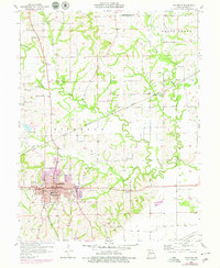
1957 Map of Richmond
USGS Topo · Published 1979About this map
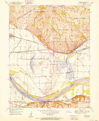
Richmond serves as the central hub of this Missouri landscape, where the confluence of major rail lines like the Chicago and North Western and the Atchison Topeka and Santa Fe once dictated the pace of local commerce. This survey captures the town's mid-century footprint, including civic anchors like the Woodson Sch, Lincoln Sch, and City Hall. Surrounding the urban center, the terrain is defined by the winding paths of the Crooked River and its various forks, creating a deeply dissected topography dotted with small rural schools and family cemeteries. The mapping of Dockery and numerous burial grounds such as Woodland Cem and Watkins Cem provides a detailed genealogical record of the rural population outside the city limits during the late 1950s and into the 1970s revision period.
Find a feature on this map
50 named features on this map. Tap any name to fly to it.
Don’t see what you’re looking for? This feature index may not catch every label — zoom into the map to look around manually.
Map Details
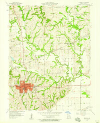
Editions of this 1957 Richmond Map
2 editions found
Other maps of this area

1889 · Lexington
USGS Topo · 1:125,000

1894 · Independence
USGS Topo · 1:125,000

1949 · Lexington East
USGS Topo · 1:24,000

1949 · Lexington West
USGS Topo · 1:24,000

1950 · Lexington East
USGS Topo · 1:24,000

1950 · Kansas City
USGS Topo · 1:250,000
1950 · Camden
USGS Topo · 1:24,000
1950 · Lexington West
USGS Topo · 1:24,000
1951 · Camden
USGS Topo · 1:24,000

1953 · Moberly
USGS Topo · 1:250,000