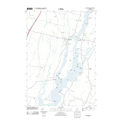
2011 Map of Richmond
USGS Topo · Published 2011About this map
The Kennebec River corridor defines this part of Maine, where the waterway widens around Swan Island and splits into the Eastern River and Abagadasset River. This coastal landscape is dotted with generational burial grounds including Evergreen Cemetery, Gaubert Cemetery, and Forrest Hill Cemetery, providing valuable data for genealogical research. The riverbanks are marked by numerous named points and ledges, such as Courthouse Point, Shipyard Point, and Ames Ledge, reflecting a long history of maritime navigation and riverfront industry.
Find a feature on this map
106 named features on this map. Tap any name to fly to it.
Don’t see what you’re looking for? This feature index may not catch every label — zoom into the map to look around manually.
Map Details
Editions of this 2011 Richmond Map
This is the sole edition of this map. No revisions or reprints were ever made.
Other maps of this area

1892 · Gardiner
USGS Topo · 1:62,500

1893 · Wiscasset
USGS Topo · 1:62,500

1893 · Boothbay
USGS Topo · 1:62,500

1894 · Bath
USGS Topo · 1:62,500

1920 · Bath
USGS Topo · 1:62,500

1941 · Boothbay
USGS Topo · 1:62,500

1943 · Gardiner
USGS Topo · 1:62,500

1943 · Boothbay
USGS Topo · 1:62,500

1944 · Wiscasset
USGS Topo · 1:62,500

1944 · Boothbay
USGS Topo · 1:62,500