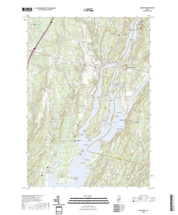
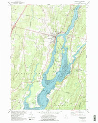
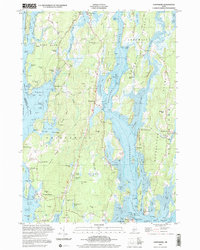
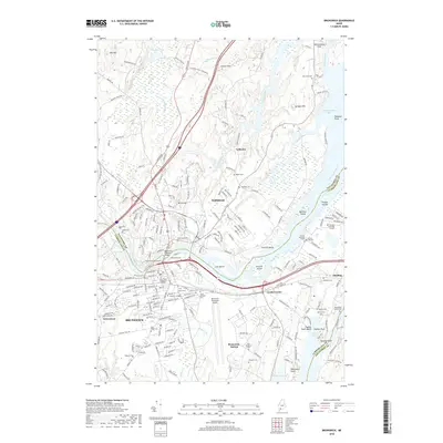
2024 Map of Richmond
USGS Topo · Published 2024About this map
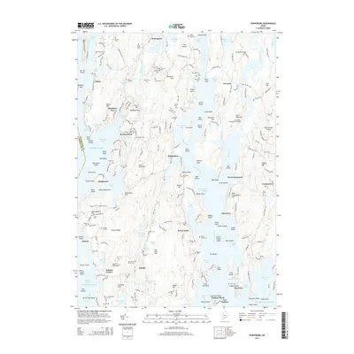
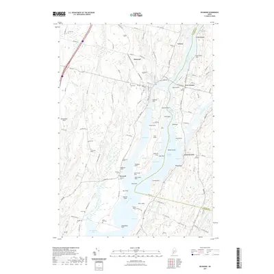
Swan Island sits prominently in the middle of the Kennebec River, anchored by its own Swan Island Cem and surrounded by numerous named features such as Theobald Point and Wade Cove. On the western bank, the town of Richmond is a central hub, while smaller riverside settlements like Iceboro, Harwards, and Cedar Grove highlight the long-standing maritime and agricultural orientation of Sagadahoc and Lincoln counties.
Find a feature on this map
124 named features on this map. Tap any name to fly to it.
Don’t see what you’re looking for? This feature index may not catch every label — zoom into the map to look around manually.
Map Details
Editions of this 2024 Richmond Map
This is the sole edition of this map. No revisions or reprints were ever made.
Historical Maps of Richmond Through Time
33 maps found
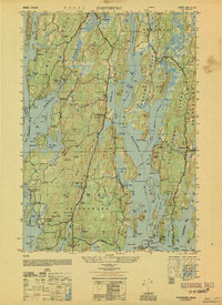
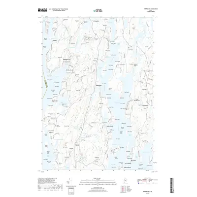
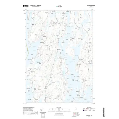
1950 Phippsburg
Sagadahoc County, ME
1957 Phippsburg
Sagadahoc County, ME
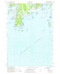
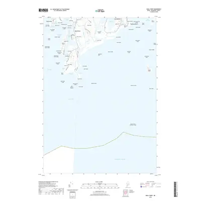
1957 Small Point
Sagadahoc County, ME
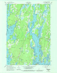
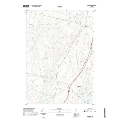
1980 Bowdoinham
Sagadahoc County, ME
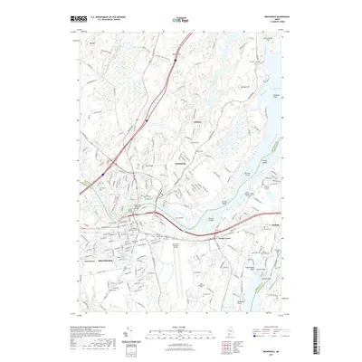
1980 Brunswick
Sagadahoc County, ME
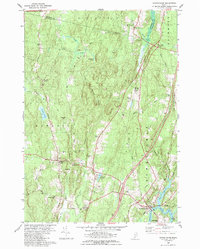
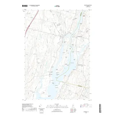
1980 Richmond
Sagadahoc County, ME
1996 Brunswick
Sagadahoc County, ME
2000 Phippsburg
Sagadahoc County, ME
2011 Bowdoinham
Sagadahoc County, ME
2011 Brunswick
Sagadahoc County, ME
2011 Phippsburg
Sagadahoc County, ME
2011 Richmond
Sagadahoc County, ME
2011 Small Point
Sagadahoc County, ME
2014 Bowdoinham
Sagadahoc County, ME
2014 Brunswick
Sagadahoc County, ME
2014 Phippsburg
Sagadahoc County, ME
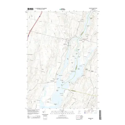
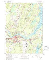
2014 Richmond
Sagadahoc County, ME
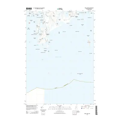
2014 Small Point
Sagadahoc County, ME
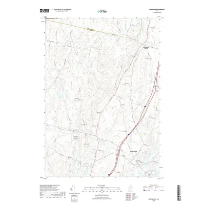
2018 Bowdoinham
Sagadahoc County, ME
2018 Brunswick
Sagadahoc County, ME
2018 Phippsburg
Sagadahoc County, ME
2018 Richmond
Sagadahoc County, ME
2018 Small Point
Sagadahoc County, ME
2021 Bowdoinham
Sagadahoc County, ME
2021 Brunswick
Sagadahoc County, ME
2021 Phippsburg
Sagadahoc County, ME
2021 Richmond
Sagadahoc County, ME
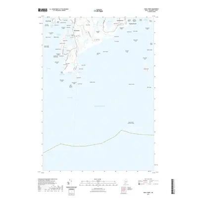
2021 Small Point
Sagadahoc County, ME
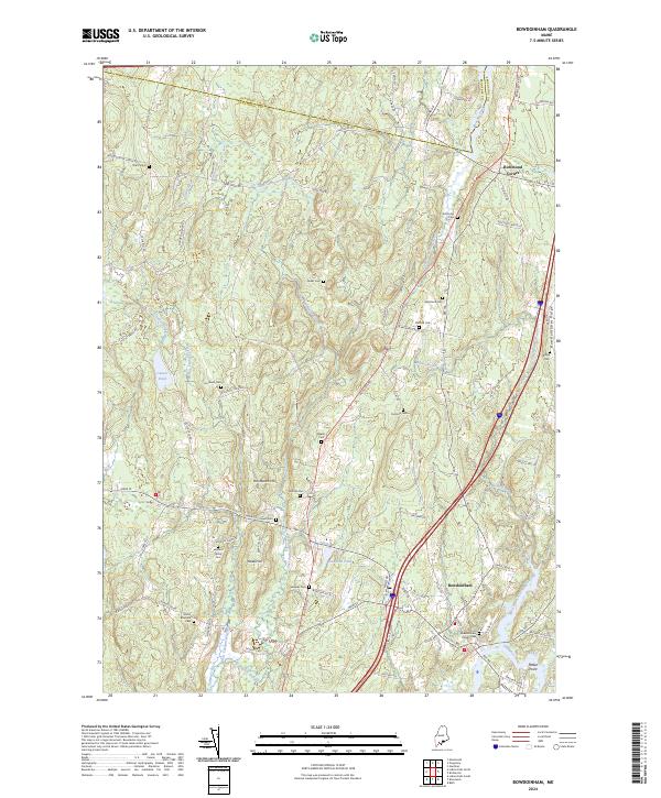
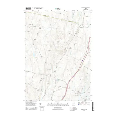
2024 Bowdoinham
Sagadahoc County, ME
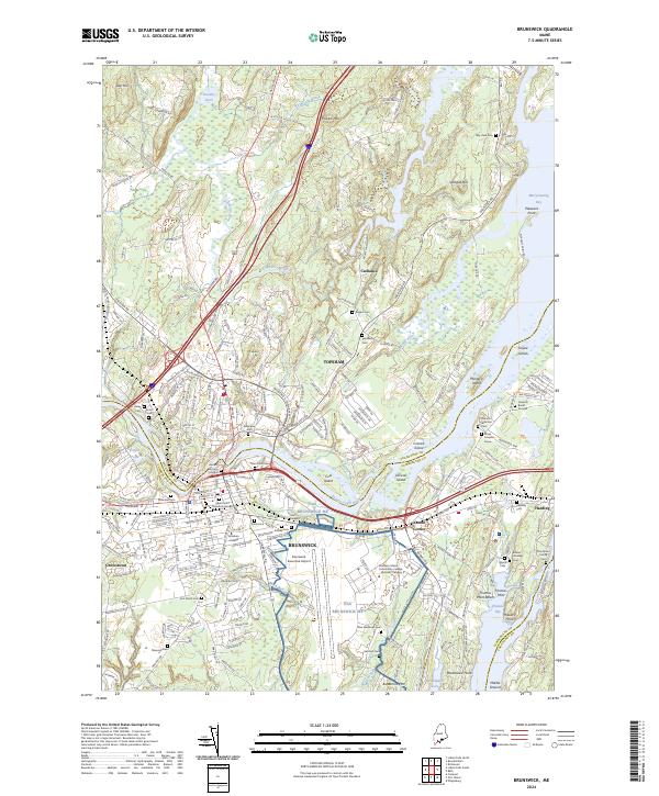
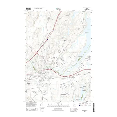
2024 Brunswick
Sagadahoc County, ME
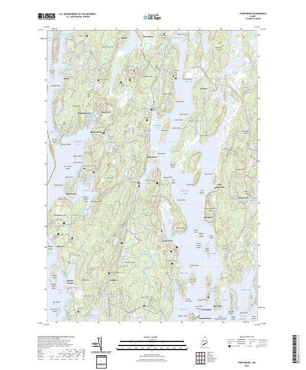
2024 Phippsburg
Sagadahoc County, ME
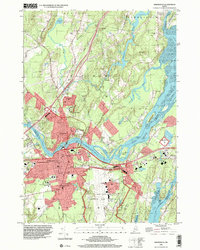
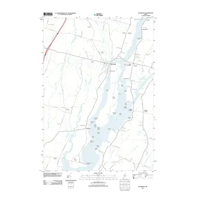
2024 Richmond
Sagadahoc County, ME
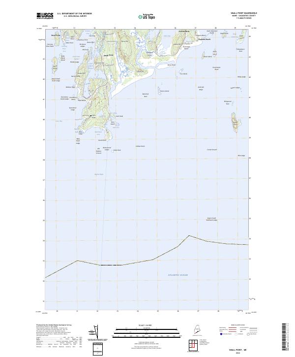
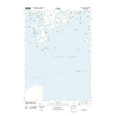
2024 Small Point
Sagadahoc County, ME