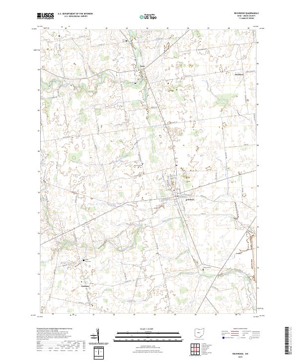
2023 Map of Richwood
USGS Topo · Published 2023About this map
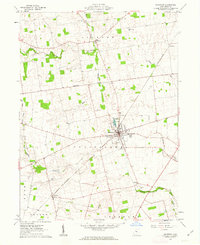
Richwood serves as the central hub of this Northern Ohio landscape, where the street grid transitions into a vast network of section roads and agricultural drainage. The village is anchored by Richwood Lake, while the surrounding Union County countryside is defined by the winding paths of Rush Creek and Fulton Creek. To the north, the small settlement of Essex sits near Cheney Cem, while the southern reaches feature the community of Claiborne and the historic Stony Point Cem.
Find a feature on this map
72 named features on this map. Tap any name to fly to it.
Don’t see what you’re looking for? This feature index may not catch every label — zoom into the map to look around manually.
Map Details
Editions of this 2023 Richwood Map
This is the sole edition of this map. No revisions or reprints were ever made.
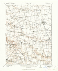
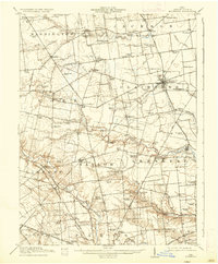
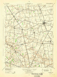
Historical Maps of Essex Through Time
5 maps found
Featured Locations
- Leesburg Township, OH
- Taylor Township, OH
- York Township, OH
- Claibourne Township, OH
- Richwood, Claibourne Township