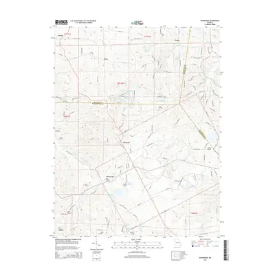
2015 Map of Richwoods
USGS Topo · Published 2015About this map
Richwoods and the surrounding rural communities of Hurricane and Hensley occupy a landscape defined by the drainage of Little Indian Cr and the northern reaches of the Saint Francois Mountains. This mid-2010s survey reveals a high density of small family or church burying grounds, including Saint Stephens Cemetery, Asplin Cemetery, and Horine Cemetery, which provide critical points of interest for local history and genealogy.
Find a feature on this map
127 named features on this map. Tap any name to fly to it.
Don’t see what you’re looking for? This feature index may not catch every label — zoom into the map to look around manually.
Map Details
Editions of this 2015 Richwoods Map
This is the sole edition of this map. No revisions or reprints were ever made.
Other maps of this area

1901 · De Soto
USGS Topo · 1:125,000

1937 · Fletcher
USGS Topo · 1:24,000

1937 · Tiff
USGS Topo · 1:24,000

1938 · Cedar Hill
USGS Topo · 1:24,000

1938 · Fletcher
USGS Topo · 1:24,000

1939 · Tiff
USGS Topo · 1:24,000

1940 · Cedar Hill
USGS Topo · 1:24,000

1946 · Richwoods
USGS Topo · 1:62,500

1947 · St. Clair
USGS Topo · 1:62,500

1948 · Richwoods
USGS Topo · 1:62,500