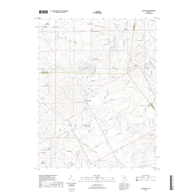
2017 Map of Richwoods
USGS Topo · Published 2017About this map
Richwoods sits at a junction of historic county lines, where the boundaries of Franklin, Jefferson, and Washington counties converge. The landscape is characterized by a dense network of hollows and ridges, including Hays Hollow and Grassy Hollow, situated at the northern edge of the Saint Francois Mountains. Numerous small family and community burial grounds, such as Saint Stephens Cem, Horine Cem, and Emily Cem, are scattered throughout the hills, providing a valuable record of early settlement patterns in this region of eastern Missouri. This interior terrain is drained by a complex system of creeks, with Little Indian Cr and Turey Cr winding through the valleys. The rural character of the area is maintained by small clusters of development like Hensley and Maupin, with several recreation-focused water bodies including Indian Rock Lake and Pierce Lake appearing across the quadrangle.
Find a feature on this map
123 named features on this map. Tap any name to fly to it.
Don’t see what you’re looking for? This feature index may not catch every label — zoom into the map to look around manually.
Map Details
Editions of this 2017 Richwoods Map
This is the sole edition of this map. No revisions or reprints were ever made.
Other maps of this area

1901 · De Soto
USGS Topo · 1:125,000

1937 · Fletcher
USGS Topo · 1:24,000

1937 · Tiff
USGS Topo · 1:24,000

1938 · Cedar Hill
USGS Topo · 1:24,000

1938 · Fletcher
USGS Topo · 1:24,000

1939 · Tiff
USGS Topo · 1:24,000

1940 · Cedar Hill
USGS Topo · 1:24,000

1946 · Richwoods
USGS Topo · 1:62,500

1947 · St. Clair
USGS Topo · 1:62,500

1948 · Richwoods
USGS Topo · 1:62,500