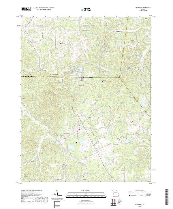
2021 Map of Richwoods
USGS Topo · Published 2021About this map
Richwoods serves as the primary hub of this landscape, situated near the headwaters of Papoose Cr and the waters of Pierce Lake. The terrain is defined by the northern reaches of the Saint Francois Mountains, where several small settlements like Maupin, Berry Hill, and Sandy Hill are connected by a network of winding roads including State HWY FF. Numerous local family and community landmarks are scattered throughout the hills, including Saint Stephens Cem, Sparks Cem, and Horine Cem. The geography is characterized by several hollows such as Grassy Hollow and Hays Hollow, alongside significant water features like Londell Lakes and Lake Tranquil. These features reflect a rural Missouri community defined by its topography and ancestral sites, with clear demarcations between Franklin, Jefferson, and Washington counties.
Find a feature on this map
86 named features on this map. Tap any name to fly to it.
Don’t see what you’re looking for? This feature index may not catch every label — zoom into the map to look around manually.
Map Details
Editions of this 2021 Richwoods Map
This is the sole edition of this map. No revisions or reprints were ever made.
Other maps of this area

1901 · De Soto
USGS Topo · 1:125,000

1937 · Fletcher
USGS Topo · 1:24,000

1937 · Tiff
USGS Topo · 1:24,000

1938 · Cedar Hill
USGS Topo · 1:24,000

1938 · Fletcher
USGS Topo · 1:24,000

1939 · Tiff
USGS Topo · 1:24,000

1940 · Cedar Hill
USGS Topo · 1:24,000

1946 · Richwoods
USGS Topo · 1:62,500

1947 · St. Clair
USGS Topo · 1:62,500

1948 · Richwoods
USGS Topo · 1:62,500