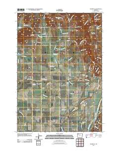
2011 Map of Rickreall
USGS Topo · Published 2011About this map
Rickreall serves as a central hub in this Polk County landscape, where the Rickreall Post Office and Polk County Fairgrounds sit at a significant crossroads. The area is defined by a dense network of local landmarks, from the historic Etna Cemetery and Rest Lawn Memory Gardens to the series of family-named junctions such as Walkers Corner, Brunks Corner, and Orrs Corner. To the east, the Willamette River flows past Halls Ferry, marking a traditional crossing point near Humbug Lake. The land is heavily intersected by small watercourses like Crowley Creek, McNary Creek, and Baskett Slough, which feed into reservoirs such as Marx Reservoir and Parks Lake Reservoir. This map illustrates a transition between the agricultural lowlands and the modest rises of Holmes Hill and Bald Hill, revealing the enduring placement of small communities like Gerlinger, Derry, and Thielsen along the rural road network.
Find a feature on this map
75 named features on this map. Tap any name to fly to it.
Don’t see what you’re looking for? This feature index may not catch every label — zoom into the map to look around manually.
Map Details
Editions of this 2011 Rickreall Map
This is the sole edition of this map. No revisions or reprints were ever made.
Other maps of this area

1914 · Independence
USGS Topo · 1:31,680

1915 · Rickreall
USGS Topo · 1:31,680

1915 · Eola
USGS Topo · 1:31,680

1915 · Sidney
USGS Topo · 1:31,680

1917 · Salem
USGS Topo · 1:62,500

1922 · Airlie
USGS Topo · 1:31,680

1924 · Mc Minnville
USGS Topo · 1:48,000

1926 · Mc Minnville
USGS Topo · 1:62,500

1940 · McMinnville
USGS Topo · 1:62,500

1940 · Salem
USGS Topo · 1:62,500