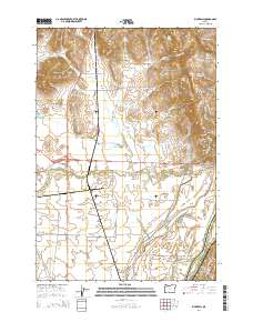
2014 Map of Rickreall
USGS Topo · Published 2014About this map
Holmes Gap and the Eola Hills anchor the northern landscape of this Willamette Valley region, where drainage patterns define the rural character. This environment is characterized by a complex network of seasonal and permanent waterways, including Baskett Slough, Mud Slough, and Rickreall Cr, which feed toward the Willamette River on the eastern boundary. The presence of numerous small-scale water management features like Marx Reservoir and Eagle Crest Reservoir reflects the agricultural demands of the fertile plains.
Find a feature on this map
76 named features on this map. Tap any name to fly to it.
Don’t see what you’re looking for? This feature index may not catch every label — zoom into the map to look around manually.
Map Details
Editions of this 2014 Rickreall Map
This is the sole edition of this map. No revisions or reprints were ever made.
Other maps of this area
1914 · Independence
USGS Topo · 1:31,680
1915 · Rickreall
USGS Topo · 1:31,680
1915 · Eola
USGS Topo · 1:31,680
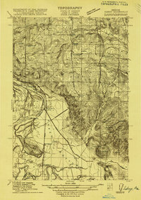
1915 · Sidney
USGS Topo · 1:31,680
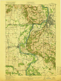
1917 · Salem
USGS Topo · 1:62,500
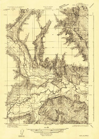
1922 · Airlie
USGS Topo · 1:31,680
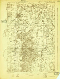
1924 · Mc Minnville
USGS Topo · 1:48,000
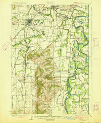
1926 · Mc Minnville
USGS Topo · 1:62,500
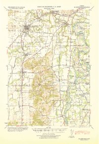
1940 · McMinnville
USGS Topo · 1:62,500
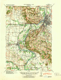
1940 · Salem
USGS Topo · 1:62,500