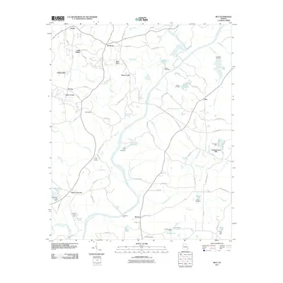
2011 Map of Rico
USGS Topo · Published 2011About this map
The Chattahoochee River carves a winding path through this corner of Georgia, anchoring a landscape defined by small crossroads settlements and quiet rural developments. In the early 21st century, the newly established city of Chattahoochee Hills spans the area, including historic nodes like Rico and Byers Crossroads. This survey documents a transition from traditional agricultural use to residential pockets such as Links of Leith and Hollis Heights.
Find a feature on this map
94 named features on this map. Tap any name to fly to it.
Don’t see what you’re looking for? This feature index may not catch every label — zoom into the map to look around manually.
Map Details
Editions of this 2011 Rico Map
This is the sole edition of this map. No revisions or reprints were ever made.
Other maps of this area

1891 · Marietta
USGS Topo · 1:125,000

1895 · Marietta
USGS Topo · 1:125,000

1897 · Marietta
USGS Topo · 1:125,000

1901 · Marietta
USGS Topo · 1:125,000

1953 · Atlanta
USGS Topo · 1:250,000

1954 · Palmetto
USGS Topo · 1:24,000

1954 · Campbellton
USGS Topo · 1:24,000

1957 · Atlanta
USGS Topo · 1:250,000

1958 · Rico
USGS Topo · 1:24,000

1958 · Atlanta
USGS Topo · 1:250,000
Featured Places
- Chattahoochee Hills, GA
- Saint Andrews Country Club Estates, GA
- Basket Creek, GA
- Cheviot Hills, GA
- Hannah, GA