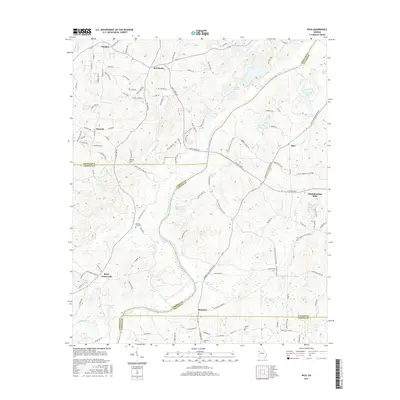
2017 Map of Rico
USGS Topo · Published 2017About this map
The Chattahoochee River carves a winding path through this corner of Georgia, serving as a natural boundary between several counties. In the northern reaches, the river separates Douglas and Fulton counties, while further south it divides Carroll and Fulton. The landscape is dotted with small rural centers like Fairplay, McWhorter, and Rico, connected by a network of local roads such as Capps Ferry Rd and Wilson Rd.
Find a feature on this map
126 named features on this map. Tap any name to fly to it.
Don’t see what you’re looking for? This feature index may not catch every label — zoom into the map to look around manually.
Map Details
Editions of this 2017 Rico Map
This is the sole edition of this map. No revisions or reprints were ever made.
Other maps of this area

1891 · Marietta
USGS Topo · 1:125,000

1895 · Marietta
USGS Topo · 1:125,000

1897 · Marietta
USGS Topo · 1:125,000

1901 · Marietta
USGS Topo · 1:125,000

1953 · Atlanta
USGS Topo · 1:250,000

1954 · Palmetto
USGS Topo · 1:24,000

1954 · Campbellton
USGS Topo · 1:24,000

1957 · Atlanta
USGS Topo · 1:250,000

1958 · Rico
USGS Topo · 1:24,000

1958 · Atlanta
USGS Topo · 1:250,000
Featured Places
- Chattahoochee Hills, GA
- Saint Andrews Country Club Estates, GA
- Basket Creek, GA
- Cheviot Hills, GA
- Hannah, GA