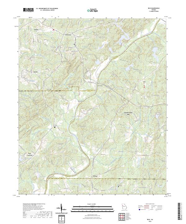
2024 Map of Rico
USGS Topo · Published 2024About this map
The Chattahoochee River forms a natural spine through this landscape, marking the historic boundary between Douglas, Fulton, and Carroll counties. Historical crossings like Morris Ferry and Neal Ferry point to the area's older transportation network, while the contemporary city of Chattahoochee Hills preserves a rural character defined by scattered settlements and family-named landmarks. Small communities such as Rico, McWhorter, and Fairplay anchor the region, supported by long-standing local institutions like Mount Zion Church and Sardis Church. The terrain is deeply etched by water, with Hurricane Creek, Wolf Creek, and Little Wolf Creek feeding into the main river channel. Local genealogists will find several burial grounds of interest, including the County Line Cem, Basket Creek Cem, and Bethel Cem, which sit alongside distinctive geological features like the Devils Den.
Find a feature on this map
118 named features on this map. Tap any name to fly to it.
Don’t see what you’re looking for? This feature index may not catch every label — zoom into the map to look around manually.
Map Details
Editions of this 2024 Rico Map
This is the sole edition of this map. No revisions or reprints were ever made.
Other maps of this area

1891 · Marietta
USGS Topo · 1:125,000

1895 · Marietta
USGS Topo · 1:125,000

1897 · Marietta
USGS Topo · 1:125,000

1901 · Marietta
USGS Topo · 1:125,000

1953 · Atlanta
USGS Topo · 1:250,000

1954 · Palmetto
USGS Topo · 1:24,000

1954 · Campbellton
USGS Topo · 1:24,000

1957 · Atlanta
USGS Topo · 1:250,000

1958 · Rico
USGS Topo · 1:24,000

1958 · Atlanta
USGS Topo · 1:250,000
Featured Places
- Chattahoochee Hills, GA
- Saint Andrews Country Club Estates, GA
- Basket Creek, GA
- Byers Crossroads, GA
- Fairplay, GA