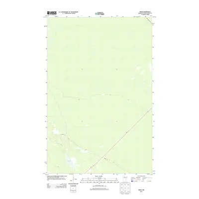
2013 Map of Ridge
USGS Topo · Published 2013About this map
Seretha Lake sits within a sparsely populated landscape of Koochiching County, defined by its water features and forest access roads. This 2013 topographic study reveals a low-lying terrain where the drainage of Dinner Cr in the northeast corner is one of the few named watercourses. The transportation network is dominated by the diagonal corridor of Us-71, which serves as a primary artery through the region. Secondary routes like Gemmell Rd and Dinner Creek Forest Rd branch off into the surrounding woods, reflecting the timber and outdoor heritage of northern Minnesota. For those tracking the evolution of the North Woods, the map provides a clear look at the minimal human footprint in this specific section of the county, prioritizing the preservation of natural hydrology and forestry routes.
Find a feature on this map
5 named features on this map. Tap any name to fly to it.
Don’t see what you’re looking for? This feature index may not catch every label — zoom into the map to look around manually.
Map Details
Editions of this 2013 Ridge Map
This is the sole edition of this map. No revisions or reprints were ever made.
Other maps of this area

1918 · Zora
USGS Topo · 1:62,500

1919 · Zora
USGS Topo · 1:62,500

1919 · Lundgren
USGS Topo · 1:62,500

1919 · Gemmell
USGS Topo · 1:62,500

1919 · Margie
USGS Topo · 1:62,500

1954 · Bemidji
USGS Topo · 1:250,000

1954 · Hibbing
USGS Topo · 1:250,000

1954 · Roseau
USGS Topo · 1:250,000

1954 · International Falls
USGS Topo · 1:250,000

1957 · Roseau
USGS Topo · 1:250,000