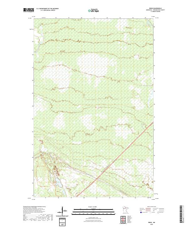
2022 Map of Ridge
USGS Topo · Published 2022About this map
Seretha Lake and the surrounding wetland complex define this north-central Minnesota landscape in the early 21st century. Located in Koochiching County, this area is characterized by an extensive network of small drainages, including Dinner Cr and Hay Cr, which filter through the low-lying terrain. The landscape is primarily managed for timber and recreation, with access provided by a limited network of unpaved corridors such as Gemmell Ridge Rd and the Gemmell Ridge Forest Rd. A significant recreational thoroughfare, the Blue Ox State Trail MS84 029 Trl, cuts diagonally across the southern portion of the quadrangle. The lack of named settlements reflects the region's focus on natural resource management and outdoor recreation within the Public Land Survey System townships of T152N through T154N.
Find a feature on this map
12 named features on this map. Tap any name to fly to it.
Don’t see what you’re looking for? This feature index may not catch every label — zoom into the map to look around manually.
Map Details
Editions of this 2022 Ridge Map
This is the sole edition of this map. No revisions or reprints were ever made.
Other maps of this area

1918 · Zora
USGS Topo · 1:62,500

1919 · Zora
USGS Topo · 1:62,500

1919 · Lundgren
USGS Topo · 1:62,500

1919 · Gemmell
USGS Topo · 1:62,500

1919 · Margie
USGS Topo · 1:62,500

1954 · Bemidji
USGS Topo · 1:250,000

1954 · Hibbing
USGS Topo · 1:250,000

1954 · Roseau
USGS Topo · 1:250,000

1954 · International Falls
USGS Topo · 1:250,000

1957 · Roseau
USGS Topo · 1:250,000