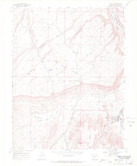
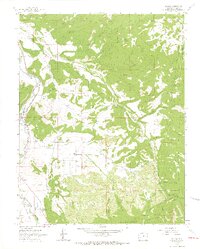
1967 Map of Ridgway
USGS Topo · Published 1971About this map
Ridgway sits at the confluence of the Uncompahgre River and Dallas Creek, serving as a focal point for the ranching and transport networks of western Colorado in the late 1960s. The landscape is defined by massive plateau features like Log Hill Mesa and Miller Mesa, which overlook the fertile drainage of Pleasant Valley. These high benches are crisscrossed by a network of drainage systems such as Horsefly Creek and Fisher Creek, where water management is evident through features like Elephant Reservoir and the Dallas Ditch.
Find a feature on this map
31 named features on this map. Tap any name to fly to it.
Don’t see what you’re looking for? This feature index may not catch every label — zoom into the map to look around manually.
Map Details
Editions of this 1967 Ridgway Map
3 editions found
Other maps of this area

1902 · Ouray
USGS Topo · 1:62,500

1904 · Ouray
USGS Topo · 1:62,500

1909 · Montrose
USGS Topo · 1:125,000

1911 · Montrose
USGS Topo · 1:125,000

1955 · Ouray
USGS Topo · 1:24,000

1956 · Montrose
USGS Topo · 1:250,000

1959 · Montrose
USGS Topo · 1:250,000

1960 · Montrose
USGS Topo · 1:250,000
1963 · Buckhorn Lakes
USGS Topo · 1:24,000
1963 · Dallas
USGS Topo · 1:24,000