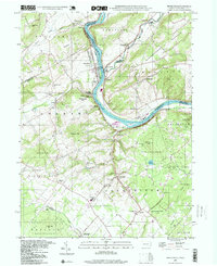
2023 Map of Riegelsville
USGS Topo · Published 2023About this map
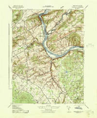
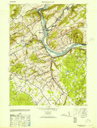
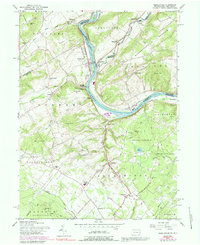
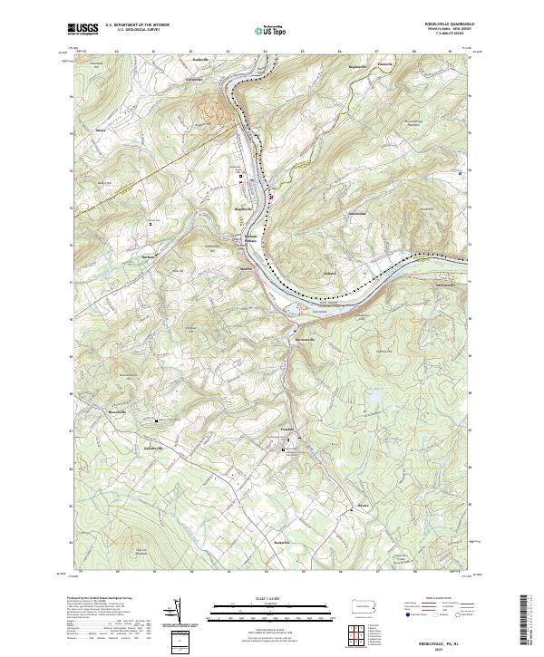
The Delaware River forms the central artery of this borderland, where the Pennsylvania Canal and D & L Trl parallel the western bank. The landscape is defined by its industrial and agricultural history, anchored by the community of Riegelsville and the historic Durham Furnace. Small hamlets and crossroads like Kintnersville, Ferndale, and Gallows Hill are scattered among the ridges of Musconetcong Mountain and Hexenkopf Hill. Local history and genealogy are well-represented by numerous burial grounds, including the Gallows Hill Graveyard, Riegelsville Union Cem, and the combined Saint Lukes Evangelical Lutheran Church/Cem. From the Nockamixon Cliffs overlooking the river to the secluded Lake Warren, the terrain transitions from steep river bluffs to the upland valleys of Stouts Valley and Buckwampum Hill.
Find a feature on this map
57 named features on this map. Tap any name to fly to it.
Don’t see what you’re looking for? This feature index may not catch every label — zoom into the map to look around manually.
Map Details
Editions of this 2023 Riegelsville Map
This is the sole edition of this map. No revisions or reprints were ever made.
Historical Maps of Amsterdam Through Time
5 maps found