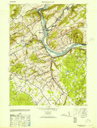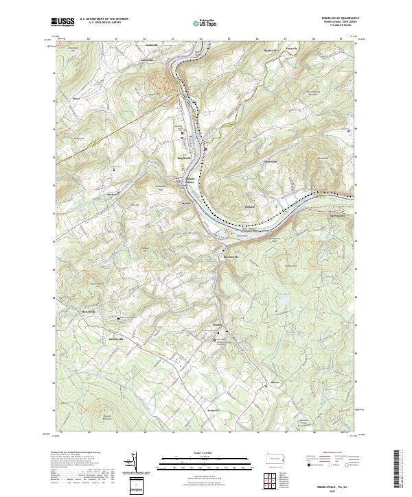
1943 Map of Riegelsville
USGS Topo · Published 1943About this map
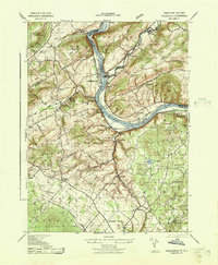
The Delaware River serves as the central artery for this 1940s landscape, dividing the riverfront communities of Riegelsville and Finesville. Industrial activity is concentrated along the riverbanks, where the Riegelsville Paper Co and the Durham Paper Co operated alongside the Pennsylvania Canal and the Belvidere Div (Pennsylvania Railroad). These transport networks underscore the importance of the river corridor for moving goods like those from the Durham Furnace and various Mine sites throughout the hills.
Find a feature on this map
68 named features on this map. Tap any name to fly to it.
Don’t see what you’re looking for? This feature index may not catch every label — zoom into the map to look around manually.
Map Details
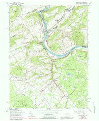
Editions of this 1943 Riegelsville Map
This is the sole edition of this map. No revisions or reprints were ever made.
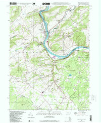
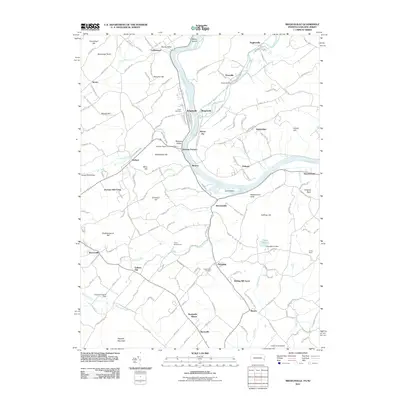
Historical Maps of Holland Township Through Time
9 maps found