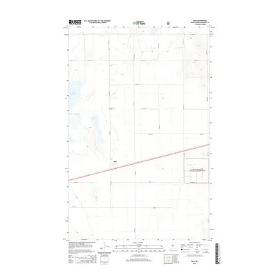
2014 Map of Riga
USGS Topo · Published 2014About this map
Riga serves as a focal point in this section of McHenry County, where the agricultural grid is bisected by the prominent transit corridor of Us-2. The landscape is defined by its seasonal wetlands and water bodies, most notably the expansive Buffalo Lodge Lake and the adjacent Rock Lake. These water features suggest a glaciated prairie environment that heavily influenced local settlement patterns and road placements. Further south, a portion of the Little Missouri National Grassland provides a distinct shift in land use, preserved as public prairie. For genealogists and local historians, the presence of Thompson and the nearby Thompson Cem offers a concrete link to the early families who established themselves in this region of North Dakota, anchoring the history of the plains in specific family names and rural landmarks.
Find a feature on this map
14 named features on this map. Tap any name to fly to it.
Don’t see what you’re looking for? This feature index may not catch every label — zoom into the map to look around manually.
Map Details
Editions of this 2014 Riga Map
This is the sole edition of this map. No revisions or reprints were ever made.
Other maps of this area

1948 · Velva
USGS Topo · 1:62,500

1949 · Granville NE
USGS Topo · 1:24,000

1949 · Simcoe
USGS Topo · 1:24,000

1949 · Riga
USGS Topo · 1:24,000

1949 · Karlsruhe NW
USGS Topo · 1:24,000

1949 · Granville
USGS Topo · 1:24,000

1949 · Denbigh
USGS Topo · 1:24,000

1949 · Bantry
USGS Topo · 1:24,000

1950 · Karlsruhe NE
USGS Topo · 1:24,000

1950 · Denbigh
USGS Topo · 1:24,000