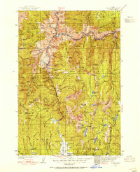
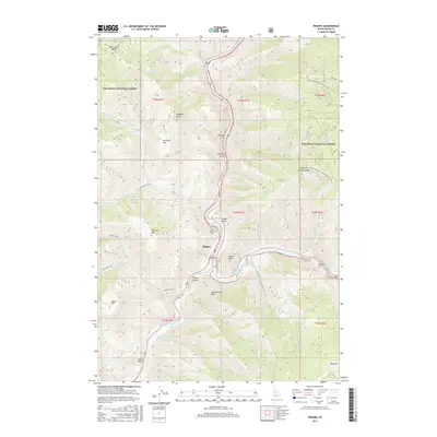
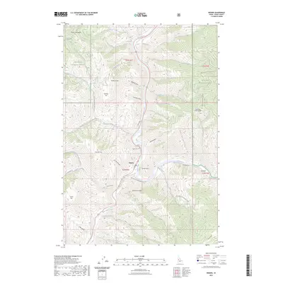
1938 Map of Riggins
USGS Topo · Published 1955About this map
The Salmon River cuts deeply through this high-altitude landscape where the Nez Perce National Forest and Payette National Forest meet. Surveyed in 1938, the map documents a remote river-and-canyon economy centered on Riggins, positioned at the confluence with the Little Salmon River. Early infrastructure for forest management is prominent, with numerous outposts including Allison Guard Sta, Pollock Guard Sta, and Indian Springs Guard Sta connected by trails rather than roads.
Find a feature on this map
150 named features on this map. Tap any name to fly to it.
Don’t see what you’re looking for? This feature index may not catch every label — zoom into the map to look around manually.
Map Details
Editions of this 1938 Riggins Map
2 editions found

Historical Maps of Riggins Through Time
11 maps found
1938 Riggins
Idaho County, ID

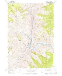
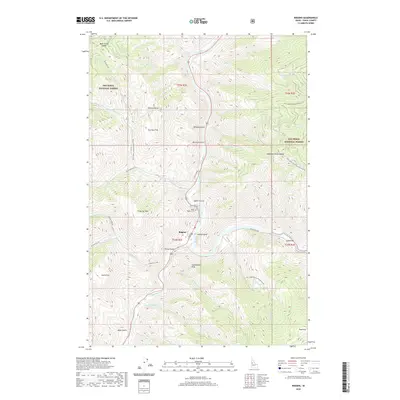
1945 Riggins
Idaho County, ID
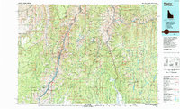
1964 Riggins
Idaho County, ID
1987 Riggins
Idaho County, ID
1995 Riggins
Idaho County, ID
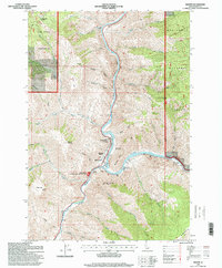
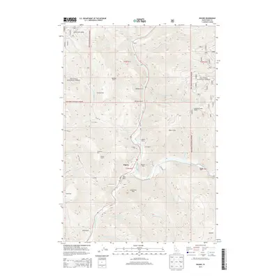
2011 Riggins
Idaho County, ID
2013 Riggins
Idaho County, ID
2017 Riggins
Idaho County, ID
2020 Riggins
Idaho County, ID
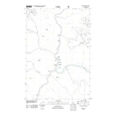
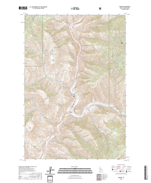
2023 Riggins
Idaho County, ID
2024 Riggins
Idaho County, ID