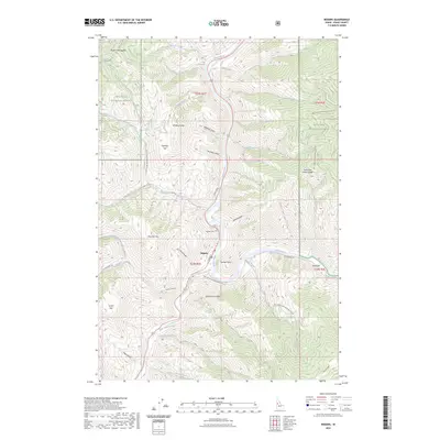
2023 Map of Riggins
USGS Topo · Published 2023About this map
The confluence of the Salmon River and the Little Salmon River serves as the focal point for Riggins, a community defined by its orientation toward Idaho's dramatic river canyons. This 2023 edition highlights a landscape where federal lands of the Nez Perce National Forest dominate the surrounding peaks and basins, including Preacher Mtn and Schoolmarm Peak. Local landmarks such as Riggins Cem and Island Bar are clearly identified, while the intricate drainage patterns of Fiddle Creek and Race Creek underscore the steep relief. The map documents the vital transport corridors of S Main St and Big Salmon Rd, alongside numerous forest development roads that penetrate the backcountry towards Whiskey Butte and Garrison Flat. This modern survey provides a detailed record of the intersections between human settlement and the vast protected wilderness of the Idaho panhandle's rugged interior.
Find a feature on this map
54 named features on this map. Tap any name to fly to it.
Don’t see what you’re looking for? This feature index may not catch every label — zoom into the map to look around manually.
Map Details
Editions of this 2023 Riggins Map
This is the sole edition of this map. No revisions or reprints were ever made.
Other maps of this area

1938 · Riggins
USGS Topo · 1:96,000

1945 · Riggins
USGS Topo · 1:125,000

1955 · Grangeville
USGS Topo · 1:250,000

1959 · Grangeville
USGS Topo · 1:250,000

1963 · John Day Mtn
USGS Topo · 1:24,000

1963 · Lucile
USGS Topo · 1:24,000

1963 · Kirkwood Creek
USGS Topo · 1:24,000
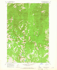
1964 · Patrick Butte
USGS Topo · 1:24,000

1964 · Riggins
USGS Topo · 1:24,000
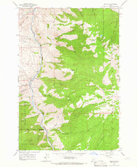
1964 · Pollock
USGS Topo · 1:24,000