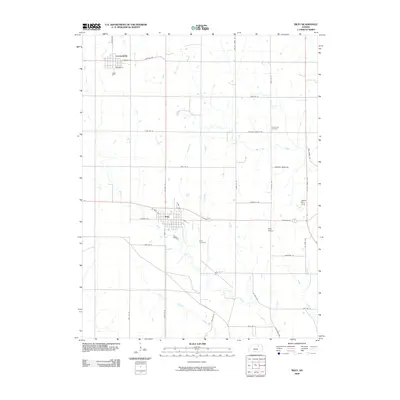
2009 Map of Riley
USGS Topo · Published 2009About this map
Leonardville and the town of Riley serve as the primary population centers in this section of Riley County, Kansas. The landscape is defined by a dense network of watercourses, including the headwaters of Wildcat Creek and the meandering Little Arkansas Creek, which carve through the agricultural terrain. Local aviation is represented by two distinct facilities: the Riley Airport situated east of town and the private Walter Stol Strip further north.
Find a feature on this map
44 named features on this map. Tap any name to fly to it.
Don’t see what you’re looking for? This feature index may not catch every label — zoom into the map to look around manually.
Map Details
Editions of this 2009 Riley Map
This is the sole edition of this map. No revisions or reprints were ever made.
Other maps of this area

1886 · Junction City
USGS Topo · 1:125,000

1889 · Junction City
USGS Topo · 1:125,000

1894 · Junction City
USGS Topo · 1:125,000

1947 · Manhattan
USGS Topo · 1:62,500

1947 · Fort Riley
USGS Topo · 1:62,500

1950 · Keats
USGS Topo · 1:24,000

1951 · Wind Creek
USGS Topo · 1:24,000

1951 · Milford
USGS Topo · 1:24,000

1955 · Fort Riley NE
USGS Topo · 1:24,000

1955 · Milford
USGS Topo · 1:24,000