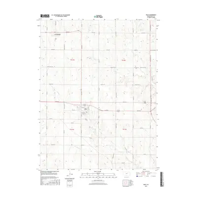
2016 Map of Riley
USGS Topo · Published 2016About this map
Riley and Leonardville serve as the primary hubs of this north-central Kansas landscape, reflecting the agricultural and residential patterns of Riley County. The grid-based town plan of Riley is visible in detail, centered around streets like Kansas Ave and N Billings St. To the north, the smaller settlement of Leonardville sits along the junction of Barton Rd and Erpelding Ave. The surrounding terrain is defined by a dense network of creek drainages, including the prominent Wildcat Creek and its southern reaches near 4800 Rd N.
Find a feature on this map
45 named features on this map. Tap any name to fly to it.
Don’t see what you’re looking for? This feature index may not catch every label — zoom into the map to look around manually.
Map Details
Editions of this 2016 Riley Map
This is the sole edition of this map. No revisions or reprints were ever made.
Other maps of this area

1886 · Junction City
USGS Topo · 1:125,000

1889 · Junction City
USGS Topo · 1:125,000

1894 · Junction City
USGS Topo · 1:125,000

1947 · Manhattan
USGS Topo · 1:62,500

1947 · Fort Riley
USGS Topo · 1:62,500

1950 · Keats
USGS Topo · 1:24,000

1951 · Wind Creek
USGS Topo · 1:24,000

1951 · Milford
USGS Topo · 1:24,000

1955 · Fort Riley NE
USGS Topo · 1:24,000

1955 · Milford
USGS Topo · 1:24,000