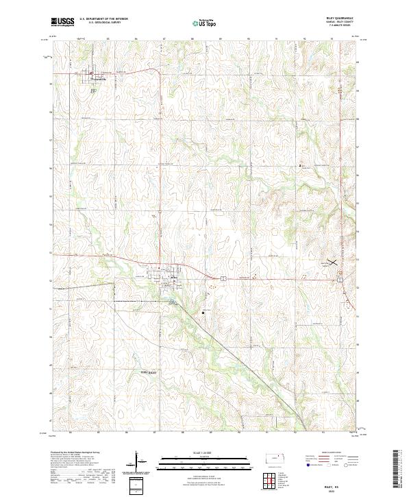
2022 Map of Riley
USGS Topo · Published 2022About this map
Riley and Leonardville anchor this portion of the Flint Hills region, where a dense network of sectional roads connects small agricultural communities. The terrain is defined by the branching tributaries of the Kansas River system, including Wildcat Cr and Little Arkansas Cr. These watercourses carve out a rolling landscape that has historically dictated the placement of early farmsteads and transport routes. Local history and genealogy are preserved in sites such as Riley Cem and Mill Creek Cem, while Leo's Place Airport represents more recent logistical development. The grid of country roads like Sherman Rd and Homestead Rd illustrates the enduring survey patterns of the Great Plains, showing how the landscape was systematically organized for settlement and farming.
Find a feature on this map
36 named features on this map. Tap any name to fly to it.
Don’t see what you’re looking for? This feature index may not catch every label — zoom into the map to look around manually.
Map Details
Editions of this 2022 Riley Map
This is the sole edition of this map. No revisions or reprints were ever made.
Other maps of this area

1886 · Junction City
USGS Topo · 1:125,000

1889 · Junction City
USGS Topo · 1:125,000

1894 · Junction City
USGS Topo · 1:125,000

1947 · Manhattan
USGS Topo · 1:62,500

1947 · Fort Riley
USGS Topo · 1:62,500

1950 · Keats
USGS Topo · 1:24,000

1951 · Wind Creek
USGS Topo · 1:24,000

1951 · Milford
USGS Topo · 1:24,000

1955 · Fort Riley NE
USGS Topo · 1:24,000

1955 · Milford
USGS Topo · 1:24,000