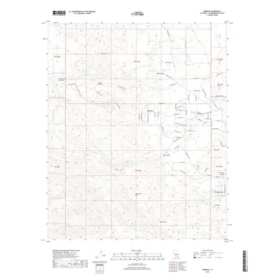
2018 Map of Rimrock
USGS Topo · Published 2018About this map
Rimrock and Pioneertown anchor this high-desert landscape in the San Bernardino County foothills, where the transition from mountain to basin is marked by complex drainage networks and volcanic landforms. The topography is defined by the San Bernardino Mountains and prominent peaks like Chaparrosa Peak and Black Mtn. Water distribution is visible through seasonal paths such as Pipes Wash and Antelope Wash, which intersect the terrain alongside landmarks like Black Lava Butte.
Find a feature on this map
81 named features on this map. Tap any name to fly to it.
Don’t see what you’re looking for? This feature index may not catch every label — zoom into the map to look around manually.
Map Details
Editions of this 2018 Rimrock Map
This is the sole edition of this map. No revisions or reprints were ever made.
Other maps of this area

1901 · Southern California Sheet No. 1
USGS Topo · 1:250,000

1902 · San Gorgonio
USGS Topo · 1:125,000

1904 · Southern California Sheet No. 1
USGS Topo · 1:250,000

1953 · San Bernardino
USGS Topo · 1:250,000

1955 · Old Woman Springs
USGS Topo · 1:62,500

1955 · Emerson Lake
USGS Topo · 1:62,500

1955 · Morongo Valley
USGS Topo · 1:62,500

1955 · Joshua Tree
USGS Topo · 1:62,500

1956 · San Bernardino
USGS Topo · 1:250,000

1957 · San Bernardino
USGS Topo · 1:250,000