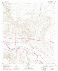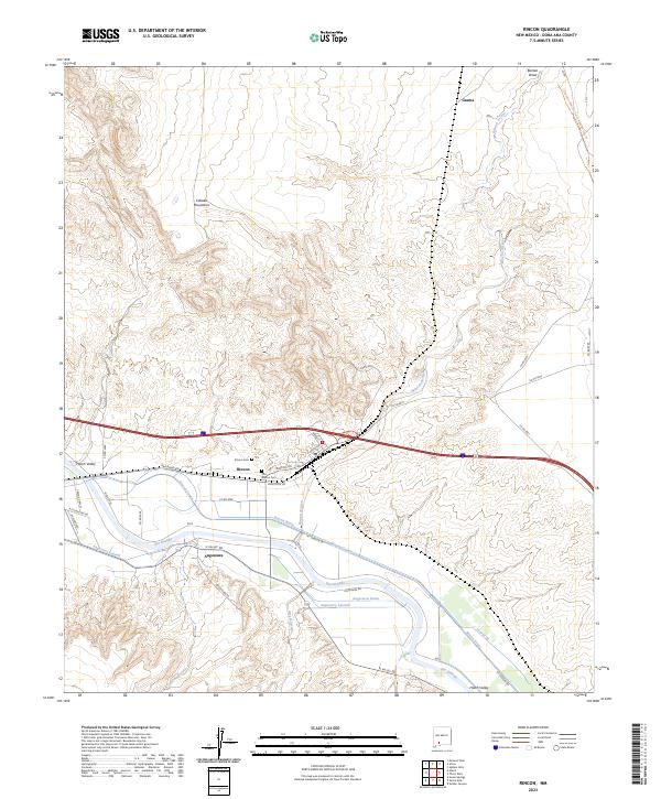
2023 Map of Rincon
USGS Topo · Published 2023About this map
The Rio Grande corridor in southern New Mexico defines this landscape, where the settlements of Rincon and Angostura have long relied on a sophisticated network of irrigation and drainage. This modern survey illustrates the complex water management system necessary for agriculture in the Hatch Valley, including the Rincon Canal, Rincon Drain, and Angostura Lateral. These features highlight the transition from the high desert terrain of the Caballo Mountains and the Rincon Arroyo down to the fertile river bottomlands.
Find a feature on this map
42 named features on this map. Tap any name to fly to it.
Don’t see what you’re looking for? This feature index may not catch every label — zoom into the map to look around manually.
Map Details
Editions of this 2023 Rincon Map
This is the sole edition of this map. No revisions or reprints were ever made.