
1959 Map of Hatch
USGS Topo · Published 1960About this map
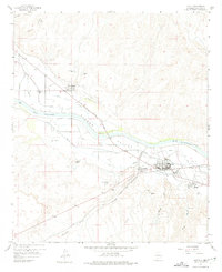
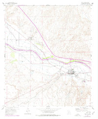
The Rio Grande defines the character of the Rincon Valley, where a complex irrigation network of canals and drains supported agricultural growth in the late 1950s. The settlement of Hatch serves as the local hub, joined by smaller communities like Salem, Placitas, and Rodey. Transport infrastructure is particularly prominent, featuring the Atchison Topeka and Santa Fe railroad and the historic Pan American Highway El Camino Central Real.
Find a feature on this map
37 named features on this map. Tap any name to fly to it.
Don’t see what you’re looking for? This feature index may not catch every label — zoom into the map to look around manually.
Map Details
Editions of this 1959 Hatch Map
Other maps of this area

1955 · Las Cruces
USGS Topo · 1:250,000

1958 · Las Cruces
USGS Topo · 1:250,000

1958 · Arroyo Cuervo
USGS Topo · 1:24,000
1959 · Sierra Alta
USGS Topo · 1:24,000
1959 · Souse Springs
USGS Topo · 1:24,000

1959 · Rincon
USGS Topo · 1:24,000

1959 · Upham
USGS Topo · 1:62,500

1961 · Nutt
USGS Topo · 1:62,500

1961 · Garfield
USGS Topo · 1:24,000

1982 · Hatch
USGS Topo · 1:100,000