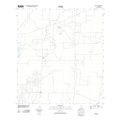
2010 Map of Rincon
USGS Topo · Published 2010About this map
Rincon sits at the heart of this landscape, where the energy industry and rural infrastructure intersect in south Texas. The area is defined by its industrial footprint, notably the North Rincon Oil and Gas Field and the Cameron Oil and Gas Field, which punctuate the terrain with extraction sites and access roads. A network of farm-to-market routes, including FM 490 and FM 755, facilitates the movement of resources and livestock across the county. Local landmarks like the Pablito Windmill indicate a reliance on traditional water management alongside the modern energy sector. The map also traces residential and ranching pockets such as Las Brisas, connected by specialized infrastructure like Pipeline Rd and Star Feedyard Rd. This 2010 survey reflects a period of intensive land use where historical ranching practices coexist with large-scale hydrocarbon production.
Find a feature on this map
14 named features on this map. Tap any name to fly to it.
Don’t see what you’re looking for? This feature index may not catch every label — zoom into the map to look around manually.
Map Details
Editions of this 2010 Rincon Map
This is the sole edition of this map. No revisions or reprints were ever made.
Other maps of this area

1938 · Sal Colorada
USGS Topo · 1:62,500

1939 · La Reforma
USGS Topo · 1:62,500

1940 · Monte Christo
USGS Topo · 1:62,500

1949 · Mc Allen
USGS Topo · 1:250,000

1954 · McAllen
USGS Topo · 1:250,000

1956 · Garcias
USGS Topo · 1:62,500

1957 · Mc Allen
USGS Topo · 1:250,000

1962 · McAllen
USGS Topo · 1:250,000
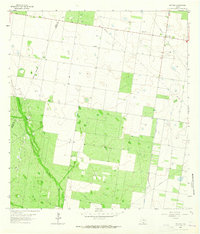
1963 · McCook
USGS Topo · 1:24,000
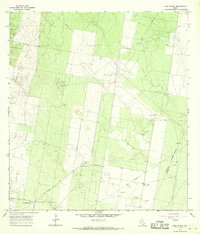
1965 · Camp Garcia
USGS Topo · 1:24,000